


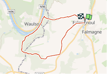

19.3 km | 26 km-effort

User


FREE GPS app for hiking
 SityTrail
IGN / Geographical institutes
SityTrail World
The world is yours!
Trail of 8 km to be discovered at Wallonia, Namur, Dinant. This trail is proposed by Michele Vercauteren.
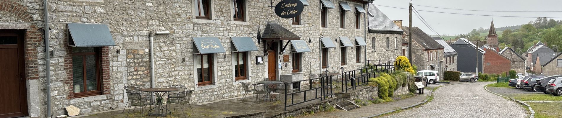
Magnifique promenade au départ de Falmignoul pour aller voir des petites cascades qui se succèdent pour se jeter dans la Meuse. Délicieux halte gourmande à la boulangerie pâtisserie Les Gourmandises du Moulin.


Walking

Walking

Walking

Walking

Walking

Walking

Walking
Walking

Walking