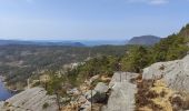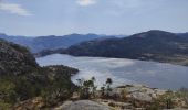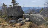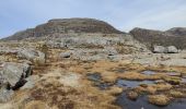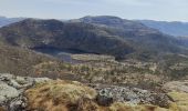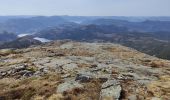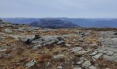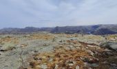

PREIKESTOLEN et MOSLIFJELLET

dudu42
User GUIDE

Length
14.1 km

Max alt
710 m

Uphill gradient
733 m

Km-Effort
24 km

Min alt
275 m

Downhill gradient
732 m
Boucle
Yes
Creation date :
2024-05-01 05:56:22.746
Updated on :
2024-05-01 12:53:04.358
5h25
Difficulty : Difficult

FREE GPS app for hiking
About
Trail Walking of 14.1 km to be discovered at Rogaland. This trail is proposed by dudu42.
Description
PREIKESTOLEN le lieu le plus visité de Norvège.
Autoroute a touristes ( dont moi ! ) mais superbe.
Vue imprenable sur le fjord.
Après, pour changer , bifurquer a mi parcours pour atteindre le sommet de MOSLIFJELLET avec vue panoramique sur 360*.
Bien suivre les repères rouge car le sentier n'est pas toujours visible.
Attention au vent fort.
Positioning
Country:
Norway
Region :
Rogaland
Department/Province :
Unknown
Municipality :
Unknown
Location:
Unknown
Start:(Dec)
Start:(UTM)
335577 ; 6542593 (32V) N.
Comments
Trails nearby


Montée du camping au sommet du Preikestolen


Walking
Difficult
,
Rogaland,
,
Norway

9.6 km | 17.2 km-effort
3h 54min
No


Preikestollen & MosslifJellet


Walking
Very difficult
,
Rogaland,
,
Norway

12.2 km | 22 km-effort
4h 56min
Yes


 SityTrail


