


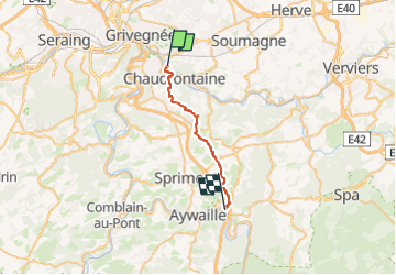

11.6 km | 16.5 km-effort

User GUIDE


FREE GPS app for hiking
 SityTrail
IGN / Geographical institutes
SityTrail World
The world is yours!
Trail Walking of 19 km to be discovered at Wallonia, Liège, Chaudfontaine. This trail is proposed by mumu.larandonneuse.
🥾 A découvrir : le projet 'Itinérances, saveurs et découvertes en OVA'🍺🧀
➡️ Quatre boucles (combinables) de 3 jours via des hébergements « relais » (± 18km par étape).
• LA SYLVESTRE (itinéraire principalement en forêt)
Comblain-la-Tour/Ferrières/Harzé/Comblain-la-Tour.
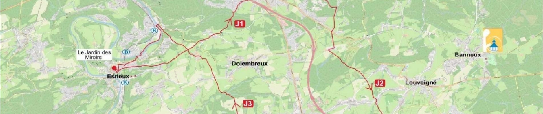
• L’ÉPICURIENNE (visite de nombreux producteurs)
Comblain-la-Tour/Tavier/Esneux/Comblain-la-Tour
• LA PATRIMONIALE (grand nombre de sites remarquables)
Esneux/Chaudfontaine/Remouchamps/Esneux
• LA TORRENTIELLE (itinéraire suivant régulièrement des rivières)
Harzé/Remouchamps/Stoumont/ Harzé
ℹ️ Informations : 04/384 35 44 - info@ovatourisme.be
Itinerance@ovatourisme.be
➡️ https://ovatourisme.be/decouvertes-nature/itinerances/
.


Walking

Walking

Walking

Walking

Walking

Walking

Walking

Walking

Walking