


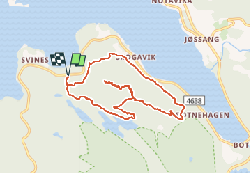


3.9 km | 7.5 km-effort

User GUIDE


FREE GPS app for hiking
 SityTrail
IGN / Geographical institutes
SityTrail World
The world is yours!
Trail Walking of 7.4 km to be discovered at Rogaland. This trail is proposed by dudu42.
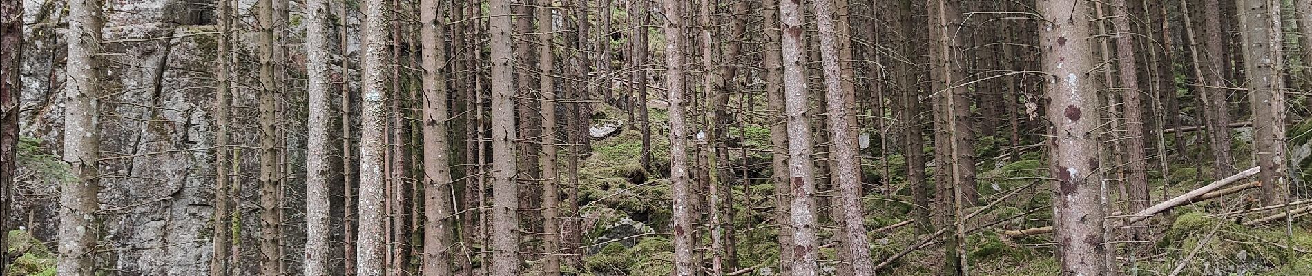
Randonnée au milieu des bois très calme.
Beaux points de vue au sommet de la montagne.
Peu de monde.
Stationnement difficile.


22 photos in total. Please click on a photo to see them all in the gallery.


Walking