29 km | 31 km-effort
Lac f
Yvon59
User
Length
8.2 km
Max alt
34 m
Uphill gradient
54 m
Km-Effort
8.9 km
Min alt
6 m
Downhill gradient
54 m
Boucle
Yes
Creation date :
2024-04-30 11:50:42.528
Updated on :
2024-04-30 14:48:01.739
2h55
Difficulty : Medium
FREE GPS app for hiking
About
Trail Walking of 8.2 km to be discovered at Normandy, Manche, Millières. This trail is proposed by Yvon59.
Description
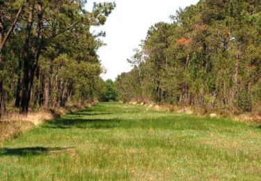
Lac des Bruyères.
Positioning
Country:
France
Region :
Normandy
Department/Province :
Manche
Municipality :
Millières
Location:
Unknown
Start:(Dec)
Start:(UTM)
612223 ; 5452528 (30U) N.
Comments
Trails nearby
Randonnée autour de Périers
Mountain bike
Easy
(1)
Périers,
Normandy,
Manche,
France
32 km | 35 km-effort
2h 0min
Yes
La Tourbière de Gorges
Walking
Medium
Gorges,
Normandy,
Manche,
France
8.2 km | 8.7 km-effort
2h 0min
Yes
St Martin d'Aubigny - Marchesieux
Other activity
Easy
Périers,
Normandy,
Manche,
France
30 km | 32 km-effort
1h 52min
Yes
St Martin d'Aubigny - Marchesieux
Other activity
Easy
Périers,
Normandy,
Manche,
France
30 km | 32 km-effort
1h 52min
Yes
Manche 3
Mountain bike
Very easy
Périers,
Normandy,
Manche,
France
48 km | 55 km-effort
11h 52min
No
COTENTIN 1
Road bike
Very difficult
Vesly,
Normandy,
Manche,
France
258 km | 292 km-effort
17h 40min
No
TR DU COTENTIN 250K
Bicycle tourism
Very easy
Vesly,
Normandy,
Manche,
France
240 km | 271 km-effort
Unknown
Yes
SityTrail - MIN 2020 JOUR 2 SPM50 à Maison de Pirou
Motorbike
Very easy
Lessay,
Normandy,
Manche,
France
8.5 km | 9.3 km-effort
Unknown
No