


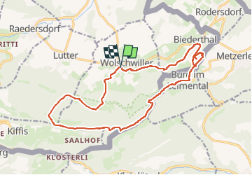


8.2 km | 11.4 km-effort


User


FREE GPS app for hiking
 SityTrail
IGN / Geographical institutes
SityTrail World
The world is yours!
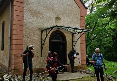
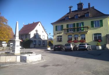
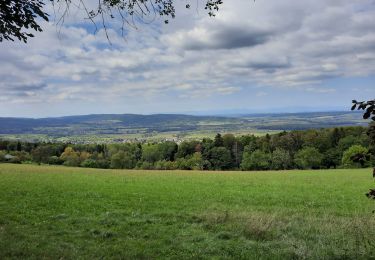
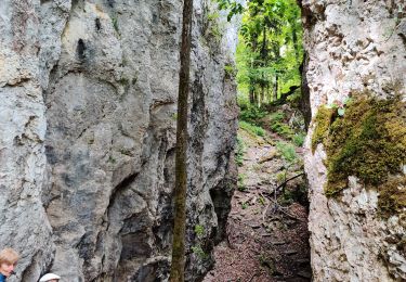
Trail Walking of 18.9 km to be discovered at Grand Est, Haut-Rhin, Wolschwiller. This trail is proposed by boubou68.
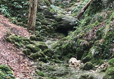
Très belle rando....variante incluse qui mérite une nouvelle trace pour le canyon de Biederthal


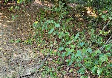
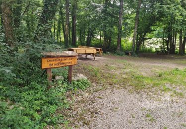
35 photos in total. Please click on a photo to see them all in the gallery.
Walking
Electric bike
Walking
Walking
Walking
Walking

Equestrian
Walking

Horseback riding