


11.4 km | 24 km-effort


User


FREE GPS app for hiking
 SityTrail
IGN / Geographical institutes
SityTrail World
The world is yours!
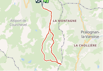
Trail Alpine skiing of 17.3 km to be discovered at Auvergne-Rhône-Alpes, Savoy, Courchevel. This trail is proposed by loicthev.
ski de rando
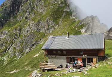
Petit Mont Blanc depuis Courchevel 1650
Alexandre Guillaume Loïc
27/04/2024

Walking

Walking

Walking

Walking

Walking
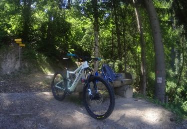
Mountain bike
Walking

Walking
Walking