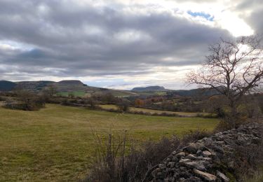
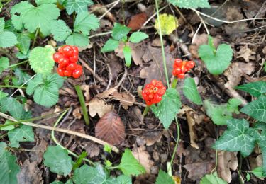
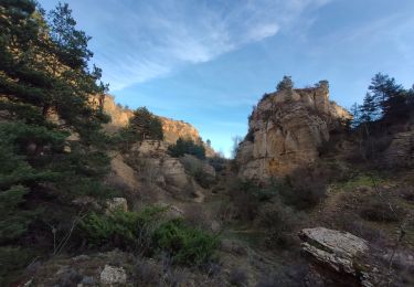
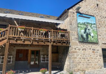
8.9 km | 14.3 km-effort
rando du 27 avril
loubel
User
Length
6.5 km
Max alt
1008 m
Uphill gradient
381 m
Km-Effort
10.5 km
Min alt
673 m
Downhill gradient
53 m
Boucle
No
Creation date :
2024-04-26 07:21:44.804
Updated on :
2024-04-26 10:18:00.391
37m
Difficulty : Easy
FREE GPS app for hiking
About
Trail Bicycle tourism of 6.5 km to be discovered at Occitania, Lozère, Marvejols. This trail is proposed by loubel.
Positioning
Country:
France
Region :
Occitania
Department/Province :
Lozère
Municipality :
Marvejols
Location:
Unknown
Start:(Dec)
Start:(UTM)
523160 ; 4934187 (31T) N.
Comments
Trails nearby
circuit de St léger de peyre les loup.
Walking
Difficult
Saint-Léger-de-Peyre,
Occitania,
Lozère,
France
3h 33min
Yes
rando trail 640 pont de monvert
Motorbike
Medium
(1)
Marvejols,
Occitania,
Lozère,
France
202 km | 274 km-effort
6h 15min
Yes
St lLeger de Peyre
Walking
Very difficult
Saint-Léger-de-Peyre,
Occitania,
Lozère,
France
12.8 km | 19.3 km-effort
4h 13min
Yes
Truc de st bonnet
sport
Very easy
Marvejols,
Occitania,
Lozère,
France
14.4 km | 20 km-effort
Unknown
No
Prades montagne fendu
Walking
Medium
Palhers,
Occitania,
Lozère,
France
6.1 km | 9.7 km-effort
1h 59min
No
Fait GTMC 2022 E11 Bigose
Mountain bike
Medium
Marvejols,
Occitania,
Lozère,
France
55 km | 71 km-effort
7h 22min
No
plateau de lacham
Walking
Very easy
Marvejols,
Occitania,
Lozère,
France
4.4 km | 5.5 km-effort
1h 12min
Yes
Pratbinals à Volmaniêres 17/06/2024
Walking
Difficult
Bourgs sur Colagne,
Occitania,
Lozère,
France
4.5 km | 6.8 km-effort
28min
No