


12.2 km | 13.1 km-effort

RCM ... l'esprit rando à vélo et à pied !


FREE GPS app for hiking
 SityTrail
IGN / Geographical institutes
SityTrail World
The world is yours!
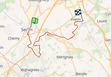
Trail Walking of 24 km to be discovered at Hauts-de-France, Nord, Seclin. This trail is proposed by Randonneur Club Marcquois.
23 km en souplesse dans la Pévèle Carembault proche de Lille (accès : gares de Fretin, billet dans le Pass MEL et Seclin, idem), en option on peut raccourcir de 6 km environ en allant directement à Seclin au km 13,5, donc un petit 17 km avec possibilité de passer au Fort de Seclin pour la visite du musée, et autre option on peut aussi reprendre le train du retour à Phalempin (la rando fait alors 18 km mais le train n'est plus au tarif MEL) ... sinon le plus utile à connaitre est la restauration à environ 9 km de Fretin : deux solutions le café rando (à peu près, il accepte le repas du sac) : L'Incontournable à Avelin T : 0613537601, ou alors le restau mais bien (du local, local! même si le nom) ... le Ch'ti Boucanier à 200 m T: 032058762, Mme Boutemy, menu à 23 € (3 services , boisson, café en salle ou terrasse, super plein de place)... donc la rando au départ de Fretin c'est 17, 18 ou 23 et on peut choisir le sens car les trains sont assez disponibles à chaque gares ... et il y a de quoi se restaurer en route et boire une bonne bière à l'arrivée... en cherchant un peu dans les villages. Bonne rando !
 - Photo 1")
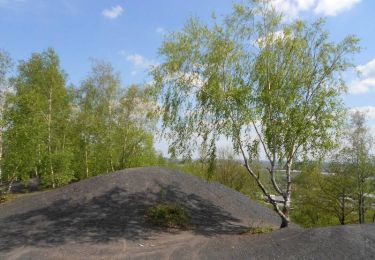
Walking
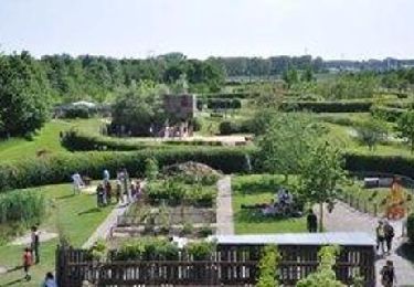
Walking

Walking

Walking

Walking

Mountain bike
Walking
Walking
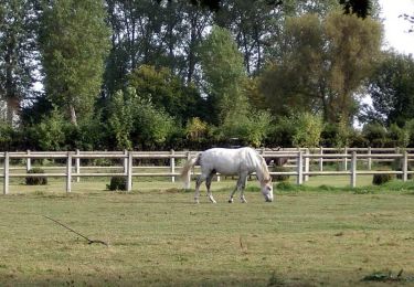
Equestrian