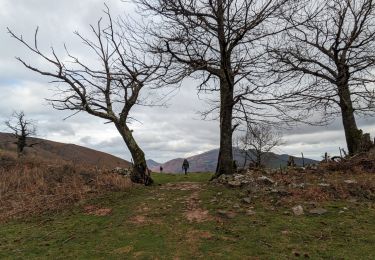
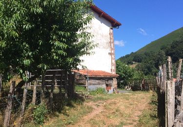
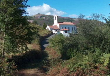
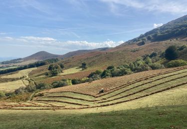
14.5 km | 26 km-effort
bidarray_sjpdp-13502332-1713967508-847
topolino
User
Length
55 km
Max alt
449 m
Uphill gradient
1264 m
Km-Effort
72 km
Min alt
75 m
Downhill gradient
1271 m
Boucle
No
Creation date :
2024-04-24 14:05:42.541
Updated on :
2024-04-24 14:05:59.643
--
Difficulty : Very difficult
FREE GPS app for hiking
About
Trail Bicycle tourism of 55 km to be discovered at New Aquitaine, Pyrénées-Atlantiques, Bidarray. This trail is proposed by topolino.
Positioning
Country:
France
Region :
New Aquitaine
Department/Province :
Pyrénées-Atlantiques
Municipality :
Bidarray
Location:
Unknown
Start:(Dec)
Start:(UTM)
634055 ; 4792039 (30T) N.
Comments
Trails nearby
2023-05-31_09h58m49_st-martin-d-arrossa-larla-sentier-des-mines
Walking
Difficult
(1)
Saint-Martin-d'Arrossa,
New Aquitaine,
Pyrénées-Atlantiques,
France
9.7 km | 16 km-effort
3h 38min
Yes
Peñas d'Itxusi
Walking
Easy
(2)
Bidarray,
New Aquitaine,
Pyrénées-Atlantiques,
France
11 km | 19.5 km-effort
3h 25min
Yes
Sommet de Larla en boucle de Saint Martin d'Arrossa
Walking
Difficult
(2)
Saint-Martin-d'Arrossa,
New Aquitaine,
Pyrénées-Atlantiques,
France
9.5 km | 15.9 km-effort
4h 0min
Yes
BIDARAY le village abandonné d'Iratzakun G3 354573
Walking
Very difficult
Baztan,
Navarre,
Unknown,
Spain
11.8 km | 15.9 km-effort
4h 8min
Yes
L'ARTZAMENDI
Walking
Easy
(1)
Itxassou,
New Aquitaine,
Pyrénées-Atlantiques,
France
8.3 km | 18.8 km-effort
Unknown
Yes
Mont Baigura
Walking
Medium
Macaye,
New Aquitaine,
Pyrénées-Atlantiques,
France
14.6 km | 27 km-effort
5h 9min
Yes
Baigura en Boucle 31/07/2022
Walking
Medium
Macaye,
New Aquitaine,
Pyrénées-Atlantiques,
France
12.4 km | 22 km-effort
4h 53min
Yes
Pas de Roland
Walking
Very easy
Itxassou,
New Aquitaine,
Pyrénées-Atlantiques,
France
3.5 km | 4.4 km-effort
1h 26min
No