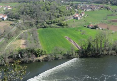
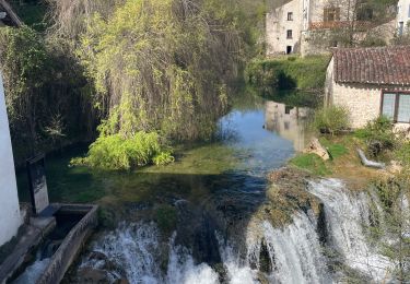
14.1 km | 19.8 km-effort
20240423 Vers - Cahors
ThonyM
User
Length
18.4 km
Max alt
295 m
Uphill gradient
311 m
Km-Effort
23 km
Min alt
115 m
Downhill gradient
327 m
Boucle
No
Creation date :
2024-04-23 06:18:51.0
Updated on :
2024-04-23 12:01:18.385
FREE GPS app for hiking
About
Trail of 18.4 km to be discovered at Occitania, Lot, Saint-Géry-Vers. This trail is proposed by ThonyM.
Positioning
Country:
France
Region :
Occitania
Department/Province :
Lot
Municipality :
Saint-Géry-Vers
Location:
Unknown
Start:(Dec)
Start:(UTM)
384873 ; 4926787 (31T) N.
Comments
Trails nearby
Vers, St Gery Vallée du Lot
Walking
Difficult
(3)
Saint-Géry-Vers,
Occitania,
Lot,
France
4h 0min
Yes
Causse de Vers-7539719
Walking
Difficult
(1)
Saint-Géry-Vers,
Occitania,
Lot,
France
11.6 km | 15.9 km-effort
3h 36min
Yes
randogps46-388
Walking
Difficult
(1)
Aujols,
Occitania,
Lot,
France
11.9 km | 16.8 km-effort
3h 49min
Yes
Étape 5 Les Mazuts Cahen
Walking
Medium
Arcambal,
Occitania,
Lot,
France
16.9 km | 21 km-effort
4h 40min
No
Boucle Vers - Merlan gr46
Walking
Easy
Saint-Géry-Vers,
Occitania,
Lot,
France
14.7 km | 19.3 km-effort
4h 21min
Yes
Galessie les Mazuts Barouillet
Walking
Very easy
Arcambal,
Occitania,
Lot,
France
10.7 km | 13.9 km-effort
2h 30min
Yes
Vers merlan pech picou
Walking
Very easy
Saint-Géry-Vers,
Occitania,
Lot,
France
10.2 km | 13.5 km-effort
2h 13min
No
St gery St cirq Cabreret
Electric bike
Very easy
Saint-Géry-Vers,
Occitania,
Lot,
France
39 km | 51 km-effort
3h 24min
Yes
Moulin de Nouaillac
Walking
Medium
(1)
Saint-Géry-Vers,
Occitania,
Lot,
France
13.3 km | 18.5 km-effort
4h 0min
Yes