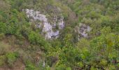
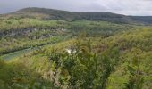
Trail Walking Lizine - lizine croix et lison - Photo

lizine croix et lison

© OpenStreetMap contributors
Length
Length
12.3 km
Max alt
Max alt
481 m
Uphill gradient
Uphill gradient
303 m
Km-Effort
Km-Effort  
16.5 km
Min alt
Min alt
293 m
Downhill gradient
Downhill gradient
352 m
Boucle
Boucle
No
Creation date :
2024-04-22 07:57:41.898
Updated on :
2024-04-22 17:06:55.3

(0 Reviews)

Walking
Walking
4h25
Difficulty : Easy

Scan this QR Code to open this trail in the SityTrail application

FREE GPS app for hiking

Logo SityTrail SityTrail
IGN / Geographical institutes

Download SityTrail from the App Store Download SityTrail from Google Play

Logo SityTrail SityTrail World
The world is yours!

Download SityTrail from the App Store Download SityTrail from Google Play Download SityTrail on Huawei AppGallery

About

Trail Walking of 12.3 km to be discovered at Bourgogne-Franche-Comté, Doubs, Lizine. This trail is proposed by eltonnermou.

Description

parking au centre de Lizine
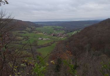
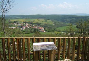
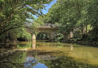
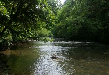
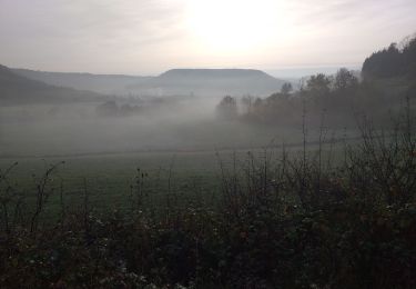
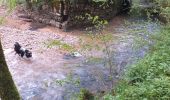
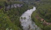
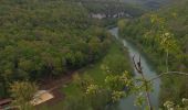
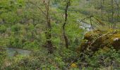
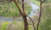
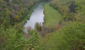
Très belle randonnée (malgré le trop d'asphalte, à mon goût) qui vous mène de belvédères en points de vue ; à ne pas faire par crue du Lison ; par une belle nature.
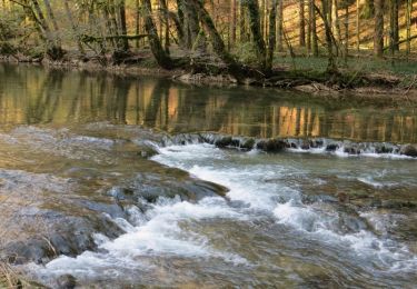
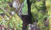
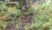
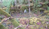
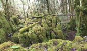
Avant de parvenir au dernier belvédère (gouille noire) admirez ce défilé entre les lapiaz, attention aux chevilles (surtout pour les enfants). Le belvédère de la Gouille noire, au plus profond du vallon, une cascade termine sa chute dans un trou d'eau: la Gouille noire. Le terme gouille, du germanique gullja, désigne une dépression remplie d'eau.
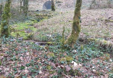
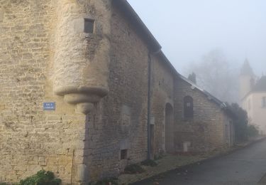
Sur le retour à Lizine profitez de ce bel étang (coin paisible), 200m avant Lizine, observez la jolie fontaine de Villevoz et ses bassins étagés construits en 1663, puis dans le centre un lavoir de 1884 et un oratoire du Dieu de pitié, élevé en 1668.
Continuez à profiter de cette belle nature et des nombreux points de vue.
Peut-être vous aurez la chance de voir : chamois ou autres animaux sauvages

Elevation profile

Photos

22 photos in total. Please click on a photo to see them all in the gallery.

Positioning

Country:
France
Region :
Bourgogne-Franche-Comté
Department/Province :
Doubs
Municipality :
Lizine
Location:
Unknown
Start:(UTM)
726481 ; 5214814 (31T) N.

Trails nearby

Trail Walking Éternoz - Eternoz,  lison  - Photo
Walking
eltonnermou

Walking

Easy
(1)
Éternoz, Bourgogne-Franche-Comté, Doubs, France
15 km | 19.2 km-effort
2h 13min
Yes
Trail Walking Échay - echay et ses belvédères - Photo
Walking
eltonnermou

Walking

Medium
(1)
Échay, Bourgogne-Franche-Comté, Doubs, France
12.8 km | 17.5 km-effort
2h 5min
Yes
Trail Walking Éternoz - Les Gorges du Lison - Eternoz - Photo
Walking
tracegps

Walking

Medium
(2)
Éternoz, Bourgogne-Franche-Comté, Doubs, France
10.9 km | 14.4 km-effort
3h 0min
Yes
Trail Walking Cussey-sur-Lison - Les Belvédères du Lison - Doubs - Photo
Walking
tracegps

Walking

Medium
(2)
Cussey-sur-Lison, Bourgogne-Franche-Comté, Doubs, France
12.3 km | 17 km-effort
3h 0min
Yes
Trail On foot Éternoz - Tour du Monniot - Photo
On foot
GUIDE+

On foot

Medium
Éternoz, Bourgogne-Franche-Comté, Doubs, France
15.6 km | 21 km-effort
4h 52min
Yes
Trail Walking Éternoz - eternoz belvédère chandelier - Photo
Walking
mormal

Walking

Medium
(2)
Éternoz, Bourgogne-Franche-Comté, Doubs, France
15.9 km | 20 km-effort
5h 13min
Yes
Trail Walking Malans - bon an Malans - Photo
Walking
eltonnermou

Walking

Easy
Malans, Bourgogne-Franche-Comté, Doubs, France
13.2 km | 16.5 km-effort
3h 5min
Yes
Trail Walking Myon - myon les lunettes à Stéphane  - Photo
Walking
eltonnermou

Walking

Medium
Myon, Bourgogne-Franche-Comté, Doubs, France
17.4 km | 23 km-effort
5h 2min
Yes
Trail Walking Amondans - Amondans - Photo
Walking
eltonnermou

Walking

Easy
(1)
Amondans, Bourgogne-Franche-Comté, Doubs, France
16 km | 21 km-effort
2h 42min
Yes


Close
My subscriptions