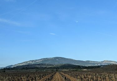
19.6 km | 26 km-effort
11_lagrasse_ouest
jab31
User
Length
14.5 km
Max alt
323 m
Uphill gradient
375 m
Km-Effort
19.5 km
Min alt
121 m
Downhill gradient
375 m
Boucle
Yes
Creation date :
2024-04-21 07:29:38.76
Updated on :
2024-04-21 18:19:26.491
4h25
Difficulty : Very difficult
FREE GPS app for hiking
About
Trail Walking of 14.5 km to be discovered at Occitania, Aude, Lagrasse. This trail is proposed by jab31.
Description
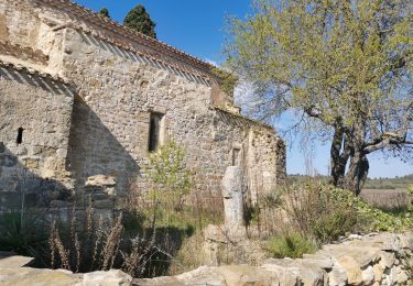
par la chapelle du Carla
Positioning
Country:
France
Region :
Occitania
Department/Province :
Aude
Municipality :
Lagrasse
Location:
Unknown
Start:(Dec)
Start:(UTM)
469333 ; 4770941 (31T) N.
Comments
Trails nearby
11 les terres rouges 01/10/23
Walking
Very difficult
Tournissan,
Occitania,
Aude,
France
17.7 km | 25 km-effort
5h 37min
Yes
TALAIRAN - Gourg Goutonnier
Walking
Easy
(1)
Talairan,
Occitania,
Aude,
France
8.1 km | 10.4 km-effort
2h 28min
Yes
le Mont Major
Walking
Medium
Saint-Pierre-des-Champs,
Occitania,
Aude,
France
14.3 km | 19.7 km-effort
5h 2min
Yes
En Corbières - La Roche Trouée - Tournissan
Walking
Medium
Tournissan,
Occitania,
Aude,
France
4.9 km | 6.9 km-effort
2h 0min
Yes
En Corbières - Le Sentier Francis Lastenouse - Tournissan
Walking
Medium
(1)
Tournissan,
Occitania,
Aude,
France
6.8 km | 10.1 km-effort
2h 30min
Yes
Le pied de Charlemagne
Walking
Very easy
Lagrasse,
Occitania,
Aude,
France
6.4 km | 8.9 km-effort
2h 3min
Yes
Lagrasse
Walking
Very difficult
Lagrasse,
Occitania,
Aude,
France
17.5 km | 24 km-effort
4h 36min
Yes
La Montagne d'Alaric - Le Roc de l'Aigle
Walking
Difficult
Camplong-d'Aude,
Occitania,
Aude,
France
13.4 km | 21 km-effort
4h 48min
Yes