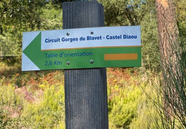
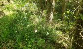
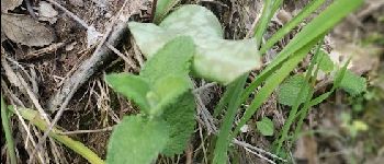
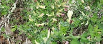
Trail Walking Tourrettes - Chêne chevelu et chêne crénelé - Photo

Chêne chevelu et chêne crénelé

© OpenStreetMap contributors
Length
Length
7 km
Max alt
Max alt
327 m
Uphill gradient
Uphill gradient
205 m
Km-Effort
Km-Effort  
9.8 km
Min alt
Min alt
161 m
Downhill gradient
Downhill gradient
205 m
Boucle
Boucle
Yes
Creation date :
2024-04-20 07:45:47.748
Updated on :
2024-04-23 07:31:55.648

(0 Reviews)

Walking
Walking
2h13
Difficulty : Medium

Scan this QR Code to open this trail in the SityTrail application

FREE GPS app for hiking

Logo SityTrail SityTrail

IGN / Geographical institutes

Download SityTrail from the App Store Download SityTrail from Google Play

Logo SityTrail SityTrail World
The world is yours!

Download SityTrail from the App Store Download SityTrail from Google Play Download SityTrail on Huawei AppGallery

About

Trail Walking of 7 km to be discovered at Provence-Alpes-Côte d'Azur, Var, Tourrettes. This trail is proposed by boulinevelyne.

Description

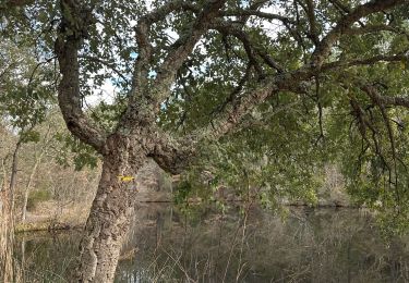
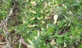
-Le chêne crénelé (Quercus crénata) à un tronc avec un peu de liège.
Feuille légèrement lobée avec présence d'une petite épine au sommet du lobe. Feuille
C'est un hybride entre le chêne chevelu et le chêne liège.

-Le chêne chevelu(Quercus cerris)  a des feuilles plus lobées et surtout un tronc présentant des sillons parallèles et trace jaune orange au fond du sillon. Cupule du gland chevelu.

Un peu de Géologie:
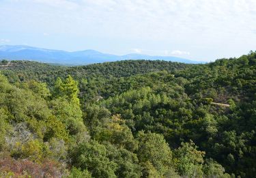
Nous sommes sur des gneiss, c.a.d une roche métamorphique brassée en profondeur, compressée ce qui donne à la roche cet aspect de stratification foliacée très fine.
du Sud au Nord on a :
une roche volcanique l'esterel puis le carbonifère avec la vallée du Reyran  ,le gneiss où nous randonnons et enfin la provence calcaire au Nord.

Elevation profile

Photos

Points of interest

Point of interest Tourrettes - dent de chien - Photo
boulinevelyne
TOURRETTES 
Point of interest Tourrettes - chêne crénelé - Photo
boulinevelyne
TOURRETTES 
Point of interest Tourrettes - chêne crénelé - Photo
boulinevelyne
TOURRETTES 
Point of interest Bagnols-en-Forêt - Petit cytise velu - Photo
boulinevelyne
BAGNOLS-EN-FORÊT 

Positioning

Country:
France
Region :
Provence-Alpes-Côte d'Azur
Department/Province :
Var
Municipality :
Tourrettes
Location:
Unknown
Start:(UTM)
315827 ; 4826591 (32T) N.

Trails nearby

Trail On foot Bagnols-en-Forêt - BAGNOLS EN FORET- Bois du défens DRI - Photo
On foot

On foot

Easy
(2)
Bagnols-en-Forêt, Provence-Alpes-Côte d'Azur, Var, France
9.3 km | 12.7 km-effort
2h 52min
Yes
Trail Walking Montauroux - Frankrijk - Lac de St. Cassien - Provence - Photo
Walking
gpstracks

Walking

Very easy
(1)
Montauroux, Provence-Alpes-Côte d'Azur, Var, France
13.5 km | 18.7 km-effort
Unknown
No
Trail Walking Bagnols-en-Forêt - Bagnols en Forêt, Pic de la Gardiette , Oppidum de La Forteresse - Photo
Walking
Pascal-83

Walking

Difficult
Bagnols-en-Forêt, Provence-Alpes-Côte d'Azur, Var, France
9.8 km | 14.3 km-effort
3h 15min
Yes
Trail Walking Montauroux - Le lac de Saint Cassien et la réserve biologique de Fondurane - Photo
Walking
boulinevelyne

Walking

Medium
Montauroux, Provence-Alpes-Côte d'Azur, Var, France
13.7 km | 18 km-effort
4h 51min
Yes
Trail Walking Fayence - St Paul en Forêt - Lac de Méaulx - Pont de l'Endre - Piste Colle Douce - Photo
Walking
LtZIP

Walking

Easy
Fayence, Provence-Alpes-Côte d'Azur, Var, France
16.9 km | 22 km-effort
5h 32min
Yes
Trail Walking Bagnols-en-Forêt - Crête Diaou et gorges du Blavet - Photo
Walking
ETMU5496

Walking

Difficult
Bagnols-en-Forêt, Provence-Alpes-Côte d'Azur, Var, France
22 km | 34 km-effort
5h 46min
Yes
Trail Walking Bagnols-en-Forêt - 20210310 Bayonne Blavet Forteresse 3 - Photo
Walking
Sugg

Walking

Medium
Bagnols-en-Forêt, Provence-Alpes-Côte d'Azur, Var, France
11.9 km | 16.6 km-effort
5h 19min
Yes
Trail Walking Saint-Paul-en-Forêt - SityTrail - LAC DE MEAULT ?VERSION 15 KMS 340 M - Photo
Walking
LtZIP

Walking

Medium
(1)
Saint-Paul-en-Forêt, Provence-Alpes-Côte d'Azur, Var, France
14.8 km | 19.3 km-effort
4h 7min
Yes
Trail Walking Bagnols-en-Forêt - z Bagnols 03-03-20 - Photo
Walking
cb8310

Walking

Very easy
Bagnols-en-Forêt, Provence-Alpes-Côte d'Azur, Var, France
7.2 km | 8.7 km-effort
2h 5min
Yes


Close
My subscriptions