


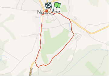


26 km | 34 km-effort

User


FREE GPS app for hiking
 SityTrail
IGN / Geographical institutes
SityTrail World
The world is yours!
Trail On foot of 3.5 km to be discovered at Wallonia, Luxembourg, Nassogne. This trail is proposed by Levac.
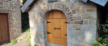
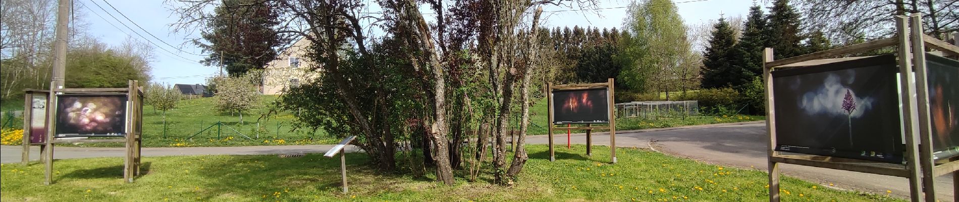
3,5km. Circuit facile dans le village, à la découvertes de 36 bâches-photos exposées en plein air dans des lieux de nature et d'intérêt touristique. Création : Office du Tourisme de Nassogne; projet de la Grande Forêt de Saint-Hubert asbl


Walking

Walking

Walking

Mountain bike

Walking

Walking

Walking

Walking

Walking