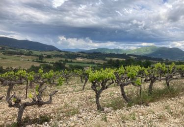
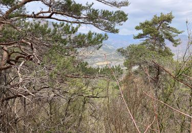
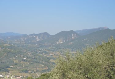
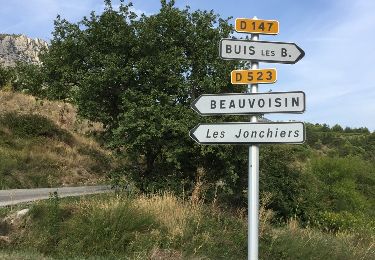
9.8 km | 15.4 km-effort
O Pas de Meynerol puyméra
© OpenStreetMap contributors
Walking
2h57
Difficulty : Difficult
Length
9.4 km
Max alt
721 m
Uphill gradient
381 m
Km-Effort
14.4 km
Min alt
399 m
Downhill gradient
381 m
Boucle
Yes
Creation date :
2024-04-17 11:59:15.667
Updated on :
2024-04-17 15:31:44.197
2h57
Difficulty : Difficult
FREE GPS app for hiking
About
Trail Walking of 9.4 km to be discovered at Provence-Alpes-Côte d'Azur, Vaucluse, Puyméras. This trail is proposed by annickdaniels@orange.fr.
Positioning
Country:
France
Region :
Provence-Alpes-Côte d'Azur
Department/Province :
Vaucluse
Municipality :
Puyméras
Location:
Unknown
Start:(Dec)
Start:(UTM)
670342 ; 4906493 (31T) N.
Comments
Trails nearby
Balade en Baronnies - Propiac
Walking
Medium
(2)
Bénivay-Ollon,
Auvergne-Rhône-Alpes,
Drôme,
France
3h 0min
Yes
Propiac(26)
Walking
Medium
(1)
Propiac,
Auvergne-Rhône-Alpes,
Drôme,
France
14.9 km | 22 km-effort
4h 48min
Yes
Mirabel/Vinsobres/Venterol/Nyons/Mirabel 28km
Road bike
Difficult
Mirabel-aux-Baronnies,
Auvergne-Rhône-Alpes,
Drôme,
France
28 km | 36 km-effort
2h 10min
Yes
Piegon les géants moins dur
Walking
Easy
Piégon,
Auvergne-Rhône-Alpes,
Drôme,
France
12.1 km | 18.5 km-effort
6h 6min
Yes
Tour de Propiac
Cycle
Very easy
Faucon,
Provence-Alpes-Côte d'Azur,
Vaucluse,
France
26 km | 31 km-effort
1h 37min
Yes
Chateauneuf de Bordette - Montagne de Petitjeux
Walking
Medium
(1)
Châteauneuf-de-Bordette,
Auvergne-Rhône-Alpes,
Drôme,
France
7.8 km | 13 km-effort
2h 46min
Yes
Le Gros Moure par Bénivay Ollon
Walking
Medium
Beauvoisin,
Auvergne-Rhône-Alpes,
Drôme,
France
16 km | 26 km-effort
4h 0min
Yes
St Romain Puymeras Faucon
Walking
Easy
Saint-Romain-en-Viennois,
Provence-Alpes-Côte d'Azur,
Vaucluse,
France
14.7 km | 18.8 km-effort
3h 36min
Yes
Merindole pour essai
Walking
Easy
Mérindol-les-Oliviers,
Auvergne-Rhône-Alpes,
Drôme,
France
4.1 km | 5.9 km-effort
1h 21min
Yes