13.1 km | 15.9 km-effort
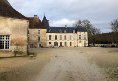
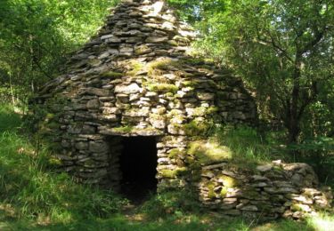
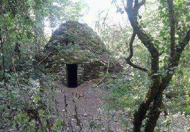
Les cadoles
NANE51
User
Length
13.4 km
Boucle
Yes
Creation date :
2024-04-14 08:06:19.0
Updated on :
2024-04-14 12:24:07.188
3h23
Difficulty : Medium
FREE GPS app for hiking
About
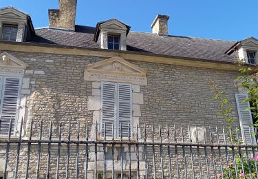
Trail Walking of 13.4 km to be discovered at Grand Est, Aube, Les Riceys. This trail is proposed by NANE51.
Description
Départ du parking sur le D17. Table de pique-nique à la chapelle saint Jacques
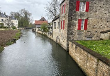
Positioning
Country:
France
Region :
Grand Est
Department/Province :
Aube
Municipality :
Les Riceys
Location:
Unknown
Start:(Dec)
Start:(UTM)
604143 ; 5314617 (31T) N.
Comments
Trails nearby
Visite des Riceys
Walking
Easy
Les Riceys,
Grand Est,
Aube,
France
6.8 km | 7.8 km-effort
1h 44min
Yes
Raid des Cadoles 2008 60km
Mountain bike
Difficult
Les Riceys,
Grand Est,
Aube,
France
57 km | 71 km-effort
4h 0min
Yes
Chemin des cadoles Courteron
Walking
Easy
Courteron,
Grand Est,
Aube,
France
12.2 km | 15.2 km-effort
3h 7min
Yes
Les Riceys - Les Cadoles
Walking
Easy
Les Riceys,
Grand Est,
Aube,
France
7.6 km | 9.1 km-effort
2h 1min
Yes
Cirkwi-Les_Riceys___circuit_des_cadoles
Walking
Medium
Les Riceys,
Grand Est,
Aube,
France
16.9 km | 21 km-effort
Unknown
Yes
Cirkwi-Les_cadoles_champenoises
Walking
Easy
Courteron,
Grand Est,
Aube,
France
9.5 km | 12 km-effort
Unknown
No
Les Riceys RCM
Walking
Very easy
Les Riceys,
Grand Est,
Aube,
France
27 km | 34 km-effort
Unknown
Yes