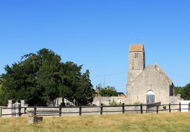
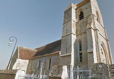
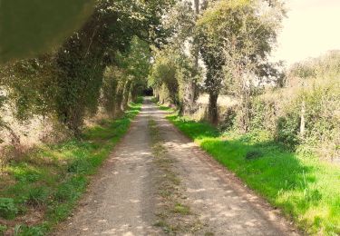
8.6 km | 9.4 km-effort
14/04/2024: balade dominicale
slyb14
User
Length
23 km
Max alt
111 m
Uphill gradient
172 m
Km-Effort
25 km
Min alt
35 m
Downhill gradient
172 m
Boucle
Yes
Creation date :
2024-04-14 07:26:07.0
Updated on :
2024-04-14 08:54:26.104
FREE GPS app for hiking
About
Trail of 23 km to be discovered at Normandy, Calvados, Le Castelet. This trail is proposed by slyb14.
Positioning
Country:
France
Region :
Normandy
Department/Province :
Calvados
Municipality :
Le Castelet
Location:
Saint-Aignan-de-Cramesnil
Start:(Dec)
Start:(UTM)
698864 ; 5440008 (30U) N.
Comments
Trails nearby
41b_les_eoliennes-6844076-1676016099-46
Nordic walking
Very easy
(1)
Moult-Chicheboville,
Normandy,
Calvados,
France
Unknown
Yes
Au Coeur des Parcs Eoliens
On foot
Easy
Valambray,
Normandy,
Calvados,
France
12.5 km | 13.3 km-effort
3h 1min
Yes
La Vallée de Conteville
On foot
Easy
Le Castelet,
Normandy,
Calvados,
France
7.4 km | 8.2 km-effort
1h 51min
Yes
Autour de la Butte Saint-Laurent
On foot
Easy
Moult-Chicheboville,
Normandy,
Calvados,
France
5.8 km | 6.3 km-effort
1h 25min
No
Autour de Poussy-la-Campagne
On foot
Easy
Valambray,
Normandy,
Calvados,
France
5 km | 5.3 km-effort
1h 12min
Yes
# 1 - Entre Plaine et Marais à Chicheboville
Walking
Easy
Moult-Chicheboville,
Normandy,
Calvados,
France
5 km | 5.4 km-effort
1h 12min
Yes
Mystère des disparus de Chicheboville
Walking
Easy
Moult-Chicheboville,
Normandy,
Calvados,
France
5.5 km | 5.9 km-effort
1h 18min
Yes
Bretteville sur Laize / Urville
On foot
Easy
(1)
Bretteville-sur-Laize,
Normandy,
Calvados,
France
15.3 km | 18 km-effort
4h 5min
Yes