


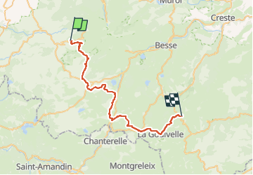

17.7 km | 24 km-effort


User


FREE GPS app for hiking
 SityTrail
IGN / Geographical institutes
SityTrail World
The world is yours!
Trail Horseback riding of 39 km to be discovered at Auvergne-Rhône-Alpes, Puy-de-Dôme, Chastreix. This trail is proposed by Pierre Dabin.
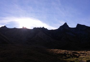
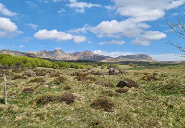
De Baffaud dans le Sancy descente jusqu'à la Godivelle étape la plus au sud de la boucle Dôme sancy . A Brion vue panoramique sur le Sancy et les estives sud sancy à180° Le Liorand et les estives du cantal

Walking

Walking

On foot
On foot
On foot
On foot
On foot

On foot
Walking