


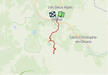

13.8 km | 24 km-effort


User


FREE GPS app for hiking
 SityTrail
IGN / Geographical institutes
SityTrail World
The world is yours!
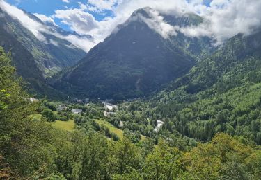
Trail Touring skiing of 23 km to be discovered at Auvergne-Rhône-Alpes, Isère, Les Deux Alpes. This trail is proposed by loicthev.
Ski de rando
Col Jean Martin - La Muzelle en 2 jours
j1 : Vénosc > Refuge de la Muzelle
j2 : Refuge de la Muzelle > Col Jean Martin > refuge de la Muzelle > Vénosc
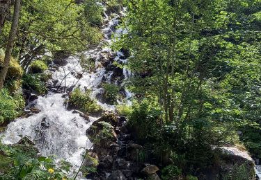
Walking

Walking
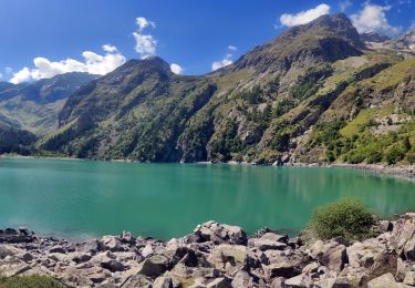
Walking
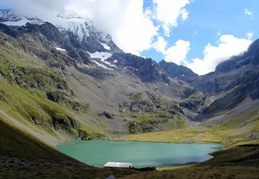
Walking

Walking

Walking

Walking
Walking
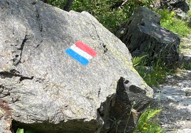
Walking