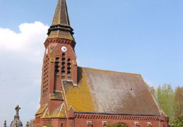
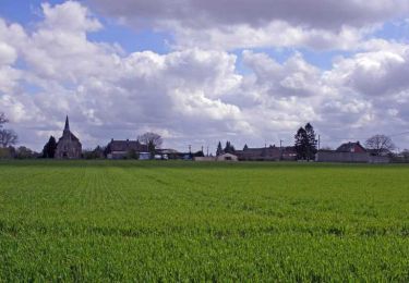
14.2 km | 15.4 km-effort
Hombleux 80
José800
User
Length
14.6 km
Max alt
75 m
Uphill gradient
75 m
Km-Effort
15.6 km
Min alt
56 m
Downhill gradient
75 m
Boucle
Yes
Creation date :
2024-04-11 11:46:14.995
Updated on :
2024-04-11 16:06:02.499
4h18
Difficulty : Difficult
FREE GPS app for hiking
About
Trail Walking of 14.6 km to be discovered at Hauts-de-France, Somme, Hombleux. This trail is proposed by José800.
Positioning
Country:
France
Region :
Hauts-de-France
Department/Province :
Somme
Municipality :
Hombleux
Location:
Hombleux
Start:(Dec)
Start:(UTM)
498930 ; 5509771 (31U) N.
Comments
Trails nearby
La Courtemanche - Voyennes
Walking
Medium
(1)
Voyennes,
Hauts-de-France,
Somme,
France
10.1 km | 11 km-effort
2h 40min
Yes
Circuit de la Courtemanche - Voyennes
Walking
Medium
Voyennes,
Hauts-de-France,
Somme,
France
11.9 km | 12.9 km-effort
3h 0min
Yes
Circuit de la fontaine Saint Quentin - Nesle
Walking
Medium
Nesle,
Hauts-de-France,
Somme,
France
12.5 km | 13.8 km-effort
3h 10min
Yes
Circuit de la Croix Saint Claude - Hombleux
Walking
Difficult
Hombleux,
Hauts-de-France,
Somme,
France
15.7 km | 16.7 km-effort
4h 0min
Yes
Source Magloire
Walking
Difficult
Sancourt,
Hauts-de-France,
Somme,
France
12.8 km | 13.8 km-effort
3h 8min
Yes
La Courtemanche
On foot
Easy
Rouy-le-Petit,
Hauts-de-France,
Somme,
France
9.9 km | 10.8 km-effort
2h 27min
Yes
La ronde des Templiers en partant de Canizy 80
On foot
Easy
Hombleux,
Hauts-de-France,
Somme,
France
10.9 km | 11.8 km-effort
2h 40min
Yes
Mesnil St Nicaise le Sole Du Pré Lacroix
On foot
Easy
Mesnil-Saint-Nicaise,
Hauts-de-France,
Somme,
France
10.1 km | 11 km-effort
2h 30min
Yes