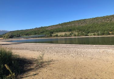
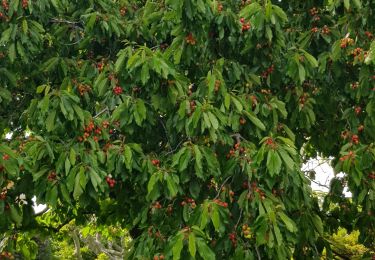
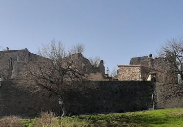
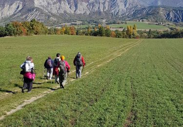
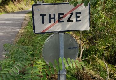
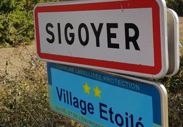
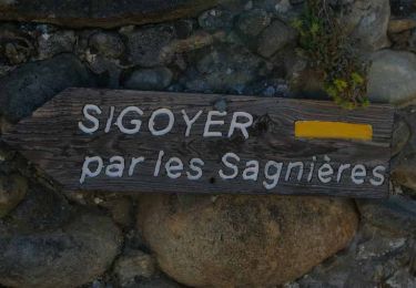
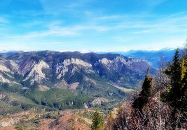
Trail Walking Thèze - Boucle Theze Sigoyer 267 + - Photo
© OpenStreetMap contributors
Length
Length
9.1 km
Max alt
Max alt
814 m
Uphill gradient
Uphill gradient
267 m
Km-Effort
Km-Effort  
12.7 km
Min alt
Min alt
567 m
Downhill gradient
Downhill gradient
267 m
Boucle
Boucle
Yes
Creation date :
2024-04-11 07:04:40.057
Updated on :
2024-04-11 14:21:37.918

(0 Reviews)

Walking
Walking
3h44
Difficulty : Easy

Scan this QR Code to open this trail in the SityTrail application

FREE GPS app for hiking

Logo SityTrail SityTrail

IGN / Geographical institutes

Download SityTrail from the App Store Download SityTrail from Google Play

Logo SityTrail SityTrail World

The world is yours!

Download SityTrail from the App Store Download SityTrail from Google Play Download SityTrail on Huawei AppGallery

About

Trail Walking of 9.1 km to be discovered at Provence-Alpes-Côte d'Azur, Alpes-de-Haute-Provence, Thèze. This trail is proposed by claude nier.

Description

sympa...ciel bleu , bonheur absolu

Elevation profile

Positioning

Country:
France
Region :
Provence-Alpes-Côte d'Azur
Department/Province :
Alpes-de-Haute-Provence
Municipality :
Thèze
Location:
Unknown
Start:(UTM)
733030 ; 4911481 (31T) N.

Trails nearby

Trail sport Mison - Du lac de MISON à celui du Poet par les colombettes  - Photo
sport
babouille

sport

Very easy
Mison, Provence-Alpes-Côte d'Azur, Alpes-de-Haute-Provence, France
5.7 km | 6.8 km-effort
Unknown
Yes
Trail Walking Le Poët - Reco 1er Rando BF 2022 - Photo
Walking
claude nier

Walking

Medium
Le Poët, Provence-Alpes-Côte d'Azur, Hautes-Alpes, France
13.2 km | 17.4 km-effort
5h 11min
Yes
Trail Mountain bike Thèze - 210322 rouviere theze a velo - Photo
Mountain bike
huguesb

Mountain bike

Very easy
Thèze, Provence-Alpes-Côte d'Azur, Alpes-de-Haute-Provence, France
4.5 km | 5.4 km-effort
1h 21min
No
Trail Walking Sigoyer - SIGOYER Boucle Croix de la Biousse o l m s - Photo
Walking
RobinMicheline

Walking

Medium
Sigoyer, Provence-Alpes-Côte d'Azur, Alpes-de-Haute-Provence, France
16.3 km | 23 km-effort
4h 25min
Yes
Trail Walking Sigoyer - Sigoyer Les Baudes - Photo
Walking
claude nier

Walking

Easy
Sigoyer, Provence-Alpes-Côte d'Azur, Alpes-de-Haute-Provence, France
8.7 km | 12.3 km-effort
2h 42min
No
Trail Walking Thèze - Boucle Theze Sigoyer depart Theze - Photo
Walking
claude nier

Walking

Easy
Thèze, Provence-Alpes-Côte d'Azur, Alpes-de-Haute-Provence, France
11.4 km | 15.7 km-effort
3h 8min
Yes
Trail Walking Sigoyer - Boucle Croix de la Biousse - Photo
Walking
claude nier

Walking

Medium
Sigoyer, Provence-Alpes-Côte d'Azur, Alpes-de-Haute-Provence, France
16.6 km | 23 km-effort
4h 57min
Yes
Trail Walking Thèze - La tournée des chênes - Thèze - Photo
Walking
tracegps

Walking

Medium
(1)
Thèze, Provence-Alpes-Côte d'Azur, Alpes-de-Haute-Provence, France
8.9 km | 12.5 km-effort
2h 30min
Yes
Trail Walking Lazer - Roc de L'Esculier Via Le Lauza - Photo
Walking
PapouBertrand

Walking

Very difficult
Lazer, Provence-Alpes-Côte d'Azur, Hautes-Alpes, France
13.2 km | 23 km-effort
5h 41min
Yes


Close
My subscriptions