


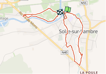

21 km | 26 km-effort

User


FREE GPS app for hiking
 SityTrail
IGN / Geographical institutes
SityTrail World
The world is yours!
Trail Walking of 5.2 km to be discovered at Wallonia, Hainaut, Erquelinnes. This trail is proposed by ELISECRO.
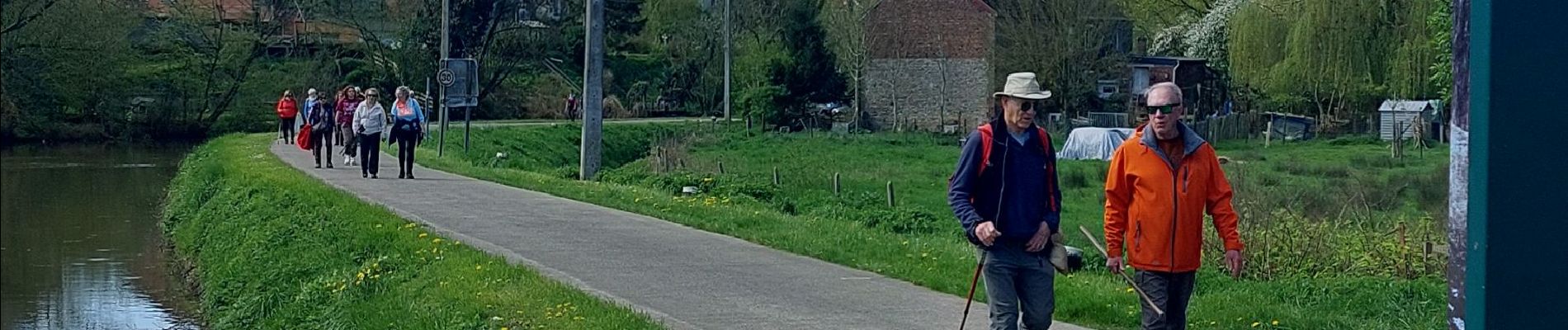
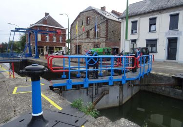
Départ à l'arrière de l'église pour un joli point de vue sur la Sambre et la confluence avec la Thure, marche par des petites venelles anciennes , déversoir , Château et petite route dans la campagne pour finir par le halage


Walking
Walking

Walking
Walking

Walking

Nordic walking

On foot

On foot

On foot