88 km | 101 km-effort
Jeune-1
pourrier
User
Length
6.9 km
Max alt
236 m
Uphill gradient
229 m
Km-Effort
9.9 km
Min alt
48 m
Downhill gradient
234 m
Boucle
Yes
Creation date :
2024-04-07 08:47:21.0
Updated on :
2024-04-07 15:42:12.217
3h43
Difficulty : Medium
FREE GPS app for hiking
About
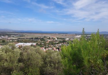
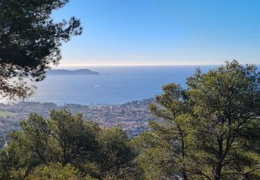
Trail Walking of 6.9 km to be discovered at Provence-Alpes-Côte d'Azur, Var, Hyères. This trail is proposed by pourrier.
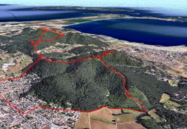
Positioning
Country:
France
Region :
Provence-Alpes-Côte d'Azur
Department/Province :
Var
Municipality :
Hyères
Location:
Unknown
Start:(Dec)
Start:(UTM)
265191 ; 4775039 (32T) N.
Comments
Trails nearby
La Capte Tour fondue
Walking
Easy
Hyères,
Provence-Alpes-Côte d'Azur,
Var,
France
14.6 km | 17.2 km-effort
4h 50min
Yes
la grotte du paradis
Walking
Easy
(1)
Carqueiranne,
Provence-Alpes-Côte d'Azur,
Var,
France
3.9 km | 6.6 km-effort
1h 35min
Yes
Ayguade plage port
Walking
Easy
Hyères,
Provence-Alpes-Côte d'Azur,
Var,
France
13.4 km | 14.7 km-effort
2h 32min
Yes
Sortie paddle plage de l'Almanarre
Canoe - kayak
Easy
Hyères,
Provence-Alpes-Côte d'Azur,
Var,
France
7.4 km | 7.6 km-effort
2h 30min
Yes
hyeres les maurettes
Walking
Easy
Hyères,
Provence-Alpes-Côte d'Azur,
Var,
France
7.7 km | 10 km-effort
2h 36min
No
Hyères J2 P5
Road bike
Difficult
Hyères,
Provence-Alpes-Côte d'Azur,
Var,
France
69 km | 84 km-effort
4h 30min
Yes
colline de Bauveze
Walking
Easy
Carqueiranne,
Provence-Alpes-Côte d'Azur,
Var,
France
5.9 km | 8.4 km-effort
2h 23min
Yes
boucle depuis Carquierane
Walking
Very easy
Carqueiranne,
Provence-Alpes-Côte d'Azur,
Var,
France
14.3 km | 20 km-effort
3h 53min
No