


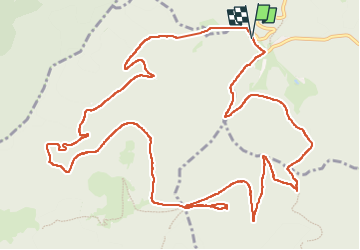

14.9 km | 21 km-effort

User


FREE GPS app for hiking
 SityTrail
IGN / Geographical institutes
SityTrail World
The world is yours!
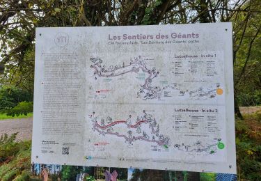
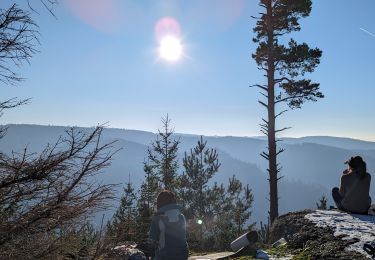
Trail Walking of 15.8 km to be discovered at Grand Est, Bas-Rhin, Lutzelhouse. This trail is proposed by Mich&Agnès.
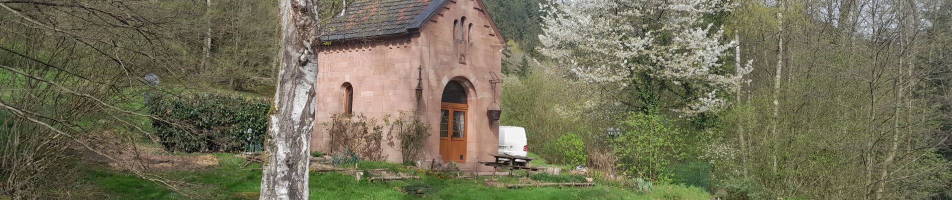
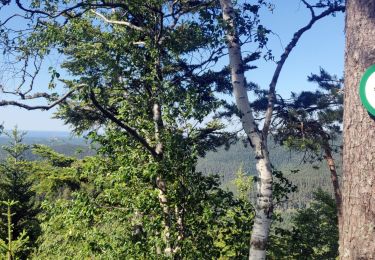
belle promenade dans les bois avec en prime une porte de pierre magnifique et plus loin au petit Katzenberg un promontoire qui fait de votre casse croûte un moment divin (s'il fait beau !)


Walking

Walking

Mountain bike
Walking

Walking
Walking
Walking
Walking
Walking