


2.5 km | 2.7 km-effort

User


FREE GPS app for hiking
 SityTrail
IGN / Geographical institutes
SityTrail World
The world is yours!
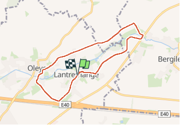
Trail Walking of 7.6 km to be discovered at Wallonia, Liège, Waremme. This trail is proposed by evelynevd.
Aujourd hui en route vers Lantremange qui est une section de la ville belge de Waremme,
Elle est traversée par le Geer. Elle était, dans le passé, possession des abbés de Stavelot-Malmedy.
En 2013, son comité de village l'a proclamé : "LE VILLAGE DES FAMILLES"
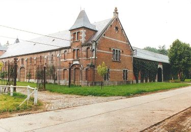
Cette balade de /- 7km nous emmène autour de la vallée du Geer. Ce parcours débute à l’église Saint-Sébastien,, on passe devant la ferme Naveau, on longe la chapelle Notre Dame De Lourdes afin de rejoindre le hameau de Oleye ( connu pour son ancien moulin), sur une petite niche se trouvant dans la cour vous trouverez une date 1878, Cette date indique la création de la minoterie d Oleye ( moulin a grain). La minoterie Lejeune donnait du travail à un grand nombre d’habitants du village. En 1925, les activités de la famille ont été transférées dans la vallée mosane entre Liège et Visé.
En résumé un balade sur de jolies routes Villageoises avec une échappée à travers les champs hesbignons. Balade sur route dur . Praticable pour le PMR
Informations pratiques
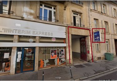
Départ et parking : 55 Rue Edmond Leburton, 4300 Waremme (possibilité de se garer devant l’église Saint-Sébastien / Lantremange)
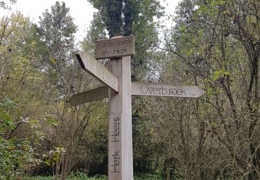
 - Photo 1")
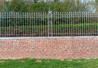
 - Photo 2")
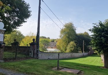
 - Photo 3")
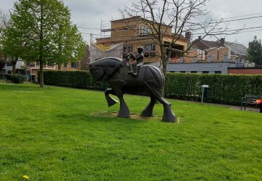
 - Photo 4")
 - Photo 5")
 - Photo 6")
 - Photo 7")
 - Photo 8")
 - Photo 9")

Walking
Walking

Bicycle tourism
Walking
Walking
Walking
Motorbike