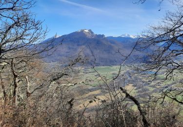
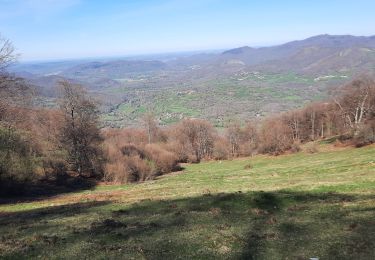
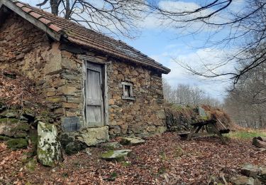
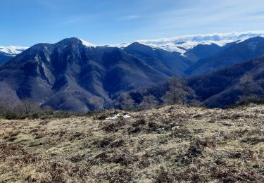
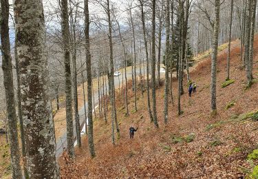
11.4 km | 20 km-effort
Douly depuis Ourde avec Jeanne
© OpenStreetMap contributors
Walking
2h53
Difficulty : Easy
Length
7.5 km
Max alt
1609 m
Uphill gradient
990 m
Km-Effort
17.7 km
Min alt
692 m
Downhill gradient
81 m
Boucle
No
Creation date :
2024-04-06 06:10:38.0
Updated on :
2024-04-06 13:28:09.694
2h53
Difficulty : Easy
FREE GPS app for hiking
About
Trail Walking of 7.5 km to be discovered at Occitania, Hautespyrenees, Ferrère. This trail is proposed by (null) (null)2d73a32012fbb405f85d3457f10971c41.
Description
Belle montée boucle vent
Positioning
Country:
France
Region :
Occitania
Department/Province :
Hautespyrenees
Municipality :
Ferrère
Location:
Unknown
Start:(Dec)
Start:(UTM)
298910 ; 4758487 (31T) N.
Comments
Trails nearby
sommet d'Herbe Rouge en boucle depuis Antichan
Walking
Medium
Antichan,
Occitania,
Hautespyrenees,
France
5h 47min
Yes
MAULEON-BAROUSSE la boucle des 2 ourses G3 2703781
Walking
Easy
Mauléon-Barousse,
Occitania,
Hautespyrenees,
France
9.5 km | 14.9 km-effort
2h 50min
Yes
MAULEON BAROUSSE la rando de Payremilla (G3) faite le 23/10/2020
Walking
Medium
Mauléon-Barousse,
Occitania,
Hautespyrenees,
France
11.6 km | 16.9 km-effort
5h 3min
Yes
randonnée sur le Touroc depuis Bramevaque
Walking
Medium
Bramevaque,
Occitania,
Hautespyrenees,
France
9.3 km | 16.7 km-effort
3h 38min
Yes
MAULEON BAROUSSE Circuit des amis du Lac "3366699" fait reco
Walking
Difficult
Mauléon-Barousse,
Occitania,
Hautespyrenees,
France
11.5 km | 19.1 km-effort
3h 45min
Yes
pic de Douly en boucle depuis Ferrère
Walking
Medium
Ferrère,
Occitania,
Hautespyrenees,
France
12.4 km | 25 km-effort
5h 56min
Yes
marrouye depuis le pied du Touroc
Walking
Medium
Sacoué,
Occitania,
Hautespyrenees,
France
15 km | 25 km-effort
6h 12min
Yes
Mauleon Barousse-Esbareich-Ourde
On foot
Very easy
(1)
Mauléon-Barousse,
Occitania,
Hautespyrenees,
France
7.2 km | 11.3 km-effort
3h 0min
Yes
Le Tourroc depuis Sacoué 65
Walking
Easy
Sacoué,
Occitania,
Hautespyrenees,
France
9.5 km | 22 km-effort
5h 5min
Yes