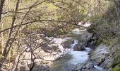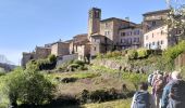

07_antraigues_7km400m

SyMA
User

Length
8.6 km

Max alt
672 m

Uphill gradient
348 m

Km-Effort
13.2 km

Min alt
406 m

Downhill gradient
345 m
Boucle
Yes
Creation date :
2024-04-06 08:15:06.752
Updated on :
2024-04-15 15:45:30.183
3h07
Difficulty : Easy

FREE GPS app for hiking
About
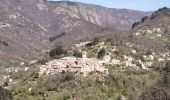
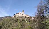
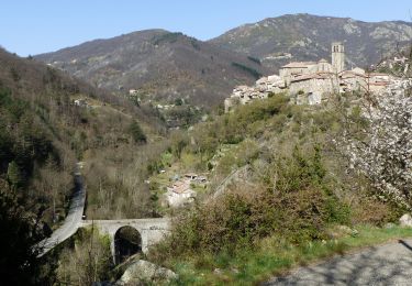
Trail Walking of 8.6 km to be discovered at Auvergne-Rhône-Alpes, Ardèche, Vallées-d'Antraigues-Asperjoc. This trail is proposed by SyMA.
Description
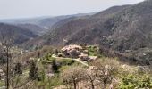
impossible de prendre les sentiers privatisés!!
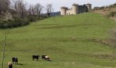
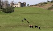
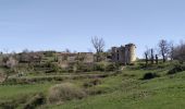
autour de Volcan de Craux et chemins après par les chataigniers AOP meme en période printemps !!
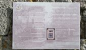
Musée et tombe de Jean Ferrat
Positioning
Country:
France
Region :
Auvergne-Rhône-Alpes
Department/Province :
Ardèche
Municipality :
Vallées-d'Antraigues-Asperjoc
Location:
Antraigues-sur-Volane
Start:(Dec)
Start:(UTM)
607614 ; 4952676 (31T) N.
Comments
Trails nearby
07 antraigues


Walking
Difficult
Vallées-d'Antraigues-Asperjoc,
Auvergne-Rhône-Alpes,
Ardèche,
France

14.4 km | 24 km-effort
7h 0min
Yes
2022-02-01_15h56m32_Les granges de Sausses 14,5km.GPX.xml


Walking
Difficult
(1)
Labastide-sur-Bésorgues,
Auvergne-Rhône-Alpes,
Ardèche,
France

14.1 km | 24 km-effort
5h 37min
Yes
07 st joseph les bancs


Walking
Easy
Saint-Joseph-des-Bancs,
Auvergne-Rhône-Alpes,
Ardèche,
France

18.4 km | 29 km-effort
7h 47min
Yes

SityTrail - 2231069 - aizacxmal-combexla-bastide-sur-besorgue-


Walking
Difficult
(1)
Aizac,
Auvergne-Rhône-Alpes,
Ardèche,
France

10.3 km | 17.4 km-effort
3h 57min
Yes

Aizac et la coupe d'Aizac


Walking
Easy
(1)
Aizac,
Auvergne-Rhône-Alpes,
Ardèche,
France

4.5 km | 7.5 km-effort
1h 24min
Yes
07 st Andeol de vals


Walking
Easy
Saint-Andéol-de-Vals,
Auvergne-Rhône-Alpes,
Ardèche,
France

15.3 km | 24 km-effort
6h 3min
Yes
la Bastide sur bezorgie


Walking
Easy
Labastide-sur-Bésorgues,
Auvergne-Rhône-Alpes,
Ardèche,
France

34 km | 47 km-effort
5h 0min
No
Le Mazoyer - Le rocher des aigles


Walking
Very difficult
Vallées-d'Antraigues-Asperjoc,
Auvergne-Rhône-Alpes,
Ardèche,
France

12.8 km | 21 km-effort
5h 46min
Yes
Antraïgues-Gamondes 17km


Walking
Difficult
Vallées-d'Antraigues-Asperjoc,
Auvergne-Rhône-Alpes,
Ardèche,
France

17.1 km | 25 km-effort
5h 30min
Yes


 SityTrail


