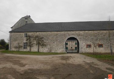
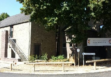
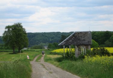
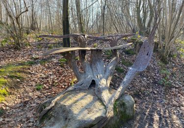
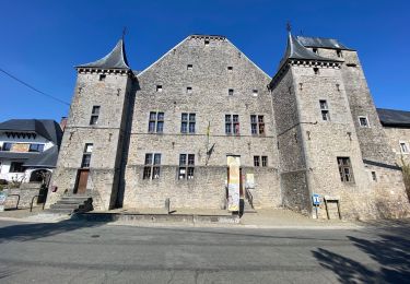
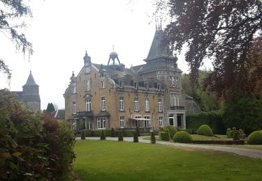
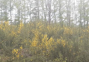
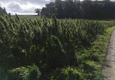
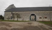
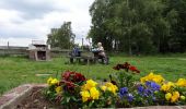
Trail Walking Anthisnes - RB-Lg-18 - Raccourci - Autour de Tavier, entre Meuse et Ourthe - Photo

RB-Lg-18 - Raccourci - Autour de Tavier, entre Meuse et Ourthe

Randonnez sur et autour des GR ® wallons (Sentiers de Grande Randonnée). PRO

© OpenStreetMap contributors
Length
Length
17.1 km
Max alt
Max alt
284 m
Uphill gradient
Uphill gradient
335 m
Km-Effort
Km-Effort  
22 km
Min alt
Min alt
149 m
Downhill gradient
Downhill gradient
341 m
Boucle
Boucle
Yes
Creation date :
2019-08-07 07:23:11.275
Updated on :
2024-04-26 12:32:39.869

(0 Reviews)

Walking
Walking
4h54
Difficulty : Very difficult

Scan this QR Code to open this trail in the SityTrail application

FREE GPS app for hiking

Logo SityTrail SityTrail

IGN / Geographical institutes

Download SityTrail from the App Store Download SityTrail from Google Play

Logo SityTrail SityTrail World

The world is yours!

Download SityTrail from the App Store Download SityTrail from Google Play Download SityTrail on Huawei AppGallery

About

Trail Walking of 17.1 km to be discovered at Wallonia, Liège, Anthisnes. This trail is proposed by GR Rando.

Description

Autour de Tavier, entre Meuse et Ourthe
(Tavier – Baugnée – Berleur – Lagrange – Hestreux - Tavier)

Cartographie et documentation :
Cartes IGN au 1:25 000, réseau Tarpan «Anthisnes – Esneux» et au 1:30 000, «Province de Liège – Rando Condroz».
Topo-guides du GR 57 «Vallée de l’Ourthe et sentier du Nord» et du GR 575/576 «À travers le Condroz».

Où se désaltérer et se restaurer :
Brasserie «A Tultay» au carrefour de la N638 et de la rue de la Magrée (à 1 km de Tavier).

Photos

Points of interest

Point of interest Anthisnes - Tilleul - Photo
GR Rando
ANTHISNES 
Point of interest Anthisnes - Le château de Baugnée - Photo
GR Rando
Point of interest Anthisnes - Ferme en carré de Baugnée - Photo
GR Rando
Point of interest Anthisnes - GR575-576 - Photo
GR Rando
ANTHISNES 
Point of interest Anthisnes - Lieu-dit Les Fosses - Photo
GR Rando

Positioning

Country:
Belgium
Region :
Wallonia
Department/Province :
Liège
Municipality :
Anthisnes
Location:
Unknown
Start:(UTM)
675245 ; 5596696 (31U) N.

Trails nearby

Trail Walking Anthisnes - RB-Lg-18_Tavier - Photo
Walking
PRO

Walking

Very difficult
(10)
Anthisnes, Wallonia, Liège, Belgium
22 km | 28 km-effort
6h 19min
Yes
Trail Walking Neupré - Neupré - liaisons inter-hameaux et -villages - Photo
Walking
PRO

Walking

Medium
(13)
Neupré, Wallonia, Liège, Belgium
10.8 km | 14.1 km-effort
2h 59min
Yes
Trail Walking Neupré - Neupré - balade de Rotheux - Photo
Walking
PRO

Walking

Medium
(11)
Neupré, Wallonia, Liège, Belgium
8.7 km | 11.1 km-effort
2h 21min
Yes
Trail Walking Neupré - Neupré - Balade du Chemin des morts - Photo
Walking
PRO

Walking

Medium
(14)
Neupré, Wallonia, Liège, Belgium
5.1 km | 7.4 km-effort
1h 33min
Yes
Trail On foot Anthisnes - AS03 Boucle de Tolumont - Photo
On foot
GUIDE+

On foot

Medium
(1)
Anthisnes, Wallonia, Liège, Belgium
13.4 km | 17.6 km-effort
3h 20min
Yes
Trail Walking Anthisnes - Hody . drive d Anthisnes . carrière . Targnon . Hestreux . Fond de Sart . Hody - Photo
Walking
GUIDE
stef789

Walking

Easy
(1)
Anthisnes, Wallonia, Liège, Belgium
11.5 km | 14.2 km-effort
3h 6min
Yes
Trail Walking Esneux - à travers les bois d Anthines et d Esneux - Photo
Walking
GUIDE
stef789

Walking

Very easy
(2)
Esneux, Wallonia, Liège, Belgium
11 km | 15 km-effort
3h 1min
Yes
Trail Walking Anthisnes - Anthines - AS03 - Boucle de Tolumont - Losange Bleu - Photo
Walking
Alfredy

Walking

Medium
(2)
Anthisnes, Wallonia, Liège, Belgium
13.9 km | 18.2 km-effort
2h 56min
Yes
Trail Mountain bike Anthisnes - première rando anthisne tavier - Photo
Mountain bike
Amby

Mountain bike

Medium
(1)
Anthisnes, Wallonia, Liège, Belgium
10.2 km | 13.4 km-effort
1h 8min
Yes


Close
My subscriptions