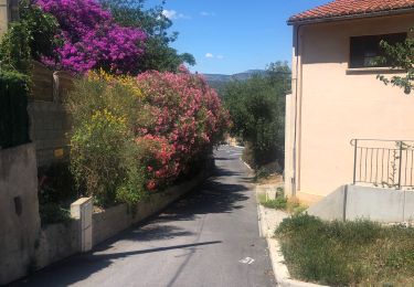
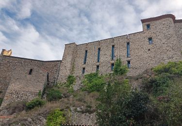
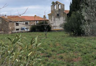
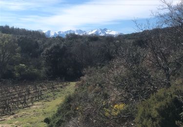
6.7 km | 11.4 km-effort
Millas Col de la bataille maquis H.Barbusse
Jocelyne LIGER
User
Length
6.6 km
Max alt
306 m
Uphill gradient
84 m
Km-Effort
7.8 km
Min alt
241 m
Downhill gradient
84 m
Boucle
Yes
Creation date :
2024-04-05 07:08:48.939
Updated on :
2024-04-05 09:34:15.108
1h54
Difficulty : Easy
FREE GPS app for hiking
About
Trail Walking of 6.6 km to be discovered at Occitania, Pyrénées-Orientales, Bélesta. This trail is proposed by Jocelyne LIGER.
Positioning
Country:
France
Region :
Occitania
Department/Province :
Pyrénées-Orientales
Municipality :
Bélesta
Location:
Unknown
Start:(Dec)
Start:(UTM)
472860 ; 4730557 (31T) N.
Comments
Trails nearby
Sentier Lambert Narach
On foot
Easy
Corneilla-la-Rivière,
Occitania,
Pyrénées-Orientales,
France
2h 35min
No
Boucle du Pic Aubeill
Walking
Easy
(1)
Bélesta,
Occitania,
Pyrénées-Orientales,
France
8 km | 10.9 km-effort
2h 24min
Yes
pic d'abeille
Walking
Very easy
(2)
Cassagnes,
Occitania,
Pyrénées-Orientales,
France
8.1 km | 10.8 km-effort
3h 0min
Yes
Montner Força Réal et château de Caladroy
Walking
Difficult
Montner,
Occitania,
Pyrénées-Orientales,
France
18.4 km | 26 km-effort
5h 43min
Yes
tour du pic aubeill
Walking
Medium
Bélesta,
Occitania,
Pyrénées-Orientales,
France
8.7 km | 12 km-effort
3h 45min
Yes
millas n'efface millas fait le 27 02 2023
Walking
Medium
Millas,
Occitania,
Pyrénées-Orientales,
France
8.3 km | 9 km-effort
2h 33min
Yes
Latour de France 08/12/2021
Walking
Medium
Latour-de-France,
Occitania,
Pyrénées-Orientales,
France
12.4 km | 16.2 km-effort
3h 12min
Yes
20200907 tour depuis Bélesta
Walking
Easy
Bélesta,
Occitania,
Pyrénées-Orientales,
France
15.5 km | 21 km-effort
4h 3min
Yes
Caladroy
Walking
Medium
Bélesta,
Occitania,
Pyrénées-Orientales,
France
15.9 km | 22 km-effort
4h 20min
Yes