5.8 km | 7.3 km-effort
lp80_eaucourt
GR77LP
User
Length
7.2 km
Max alt
105 m
Uphill gradient
127 m
Km-Effort
8.9 km
Min alt
3 m
Downhill gradient
127 m
Boucle
Yes
Creation date :
2024-03-26 12:57:43.042
Updated on :
2024-04-04 07:50:57.386
2h01
Difficulty : Medium
FREE GPS app for hiking
About
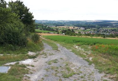
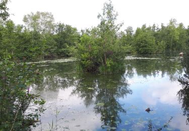
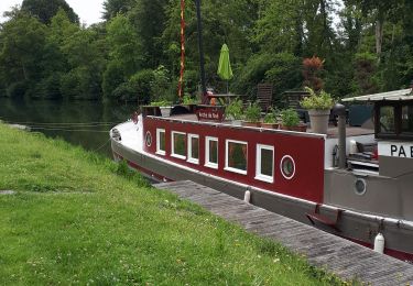
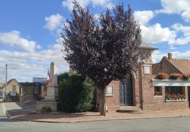
Trail Walking of 7.2 km to be discovered at Hauts-de-France, Somme, Eaucourt-sur-Somme. This trail is proposed by GR77LP.
Description
Parking : salle des fêtes Eaucourt-sur-Somme
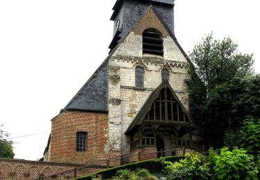
Passage par le Moulin d'Eaucourt et le château
Positioning
Country:
France
Region :
Hauts-de-France
Department/Province :
Somme
Municipality :
Eaucourt-sur-Somme
Location:
Unknown
Start:(Dec)
Start:(UTM)
420062 ; 5546310 (31U) N.
Comments
Trails nearby
Les Hauts de Long
On foot
Easy
Fontaine-sur-Somme,
Hauts-de-France,
Somme,
France
9.1 km | 11 km-effort
2h 29min
Yes
le moulin d'Eaucourt
Walking
Easy
Eaucourt-sur-Somme,
Hauts-de-France,
Somme,
France
7.4 km | 9.1 km-effort
2h 23min
Yes
Au travers des étangs
Walking
Very easy
Mareuil-Caubert,
Hauts-de-France,
Somme,
France
3.7 km | 3.9 km-effort
1h 16min
Yes
chemin de hallage et crête.
Walking
Very easy
Pont-Remy,
Hauts-de-France,
Somme,
France
9.8 km | 11.6 km-effort
2h 34min
Yes
la baie de Somme à vélo
Cycle
Very easy
Abbeville,
Hauts-de-France,
Somme,
France
118 km | 124 km-effort
8h 12min
No
Abbeville chemin du Pâtis
Walking
Easy
Abbeville,
Hauts-de-France,
Somme,
France
14 km | 15 km-effort
4h 6min
No
La Vallée de Frosme
On foot
Easy
Mareuil-Caubert,
Hauts-de-France,
Somme,
France
9.1 km | 11.5 km-effort
2h 37min
Yes
Les Etangs et Marais de Mareuil-Caubert
On foot
Easy
Mareuil-Caubert,
Hauts-de-France,
Somme,
France
3.4 km | 3.6 km-effort
48min
No