


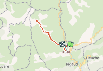

12.2 km | 20 km-effort

User


FREE GPS app for hiking
 SityTrail
IGN / Geographical institutes
SityTrail World
The world is yours!
Trail Snowshoes of 11.6 km to be discovered at Provence-Alpes-Côte d'Azur, Maritime Alps, Rigaud. This trail is proposed by bozo1970.
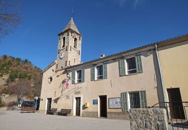
Départ de Rubi
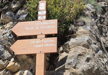
Balise 210 en 30’ D 250m et 1km200
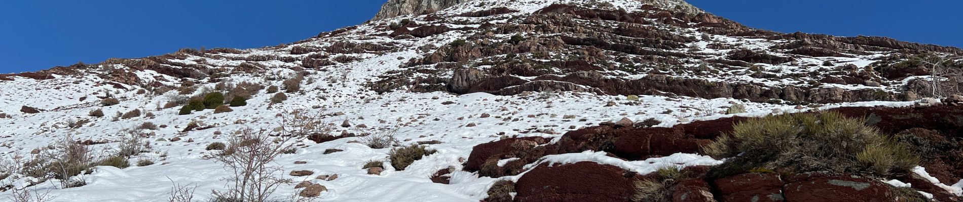
Début de la neige vers 1600m
Fin du sentier en 2h46’ D 920m et 5km400
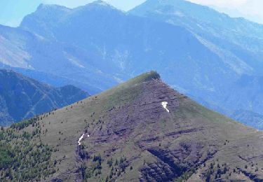
Sommet en 3h53’ D 1156m et 6km300
Pas de glace
Escalade du sommet avec les mains
A/R en 5h53’ et 12km
Cerf biches faons


On foot
Walking
Walking

Walking
On foot
Walking
Walking
Walking
Walking