


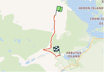

28 km | 32 km-effort

User


FREE GPS app for hiking
 SityTrail
IGN / Geographical institutes
SityTrail World
The world is yours!
Trail Walking of 11.1 km to be discovered at Unknown, County Kerry, Kenmare Municipal District. This trail is proposed by Lobin.
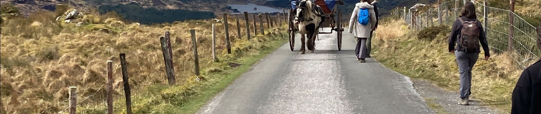
Il faut réserver la dépose en minibus au départ de la rando avec un Retour via les lacs.
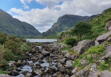
Le chemin est une route mais ça vaut le coup. Le retour par les lacs est superbe


Walking

Walking

Mountain bike