


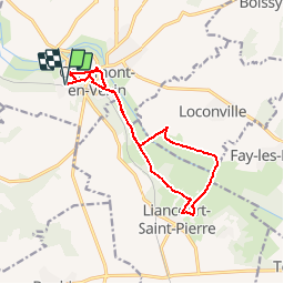

8.7 km | 10.4 km-effort


User


FREE GPS app for hiking
 SityTrail
IGN / Geographical institutes
SityTrail World
The world is yours!
Trail Walking of 12.4 km to be discovered at Hauts-de-France, Oise, Chaumont-en-Vexin. This trail is proposed by marcel.F.
Départ de la gare de Chaumont en Vexin
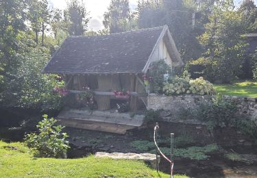
puis rue du château, puis sente jusqu'à la Mairie, puis rue du Moulin Baudet, puis chemin jusqu'à Liancourt St Pierre, tour du village puis retour vers Chaumont, monter à l'église et parking de la gare

Walking

Walking

Nordic walking
Walking
Walking
Walking
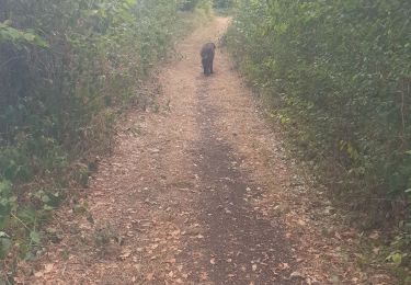
Walking
Walking
On foot