


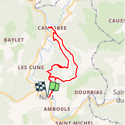

15.3 km | 23 km-effort


User


FREE GPS app for hiking
 SityTrail
IGN / Geographical institutes
SityTrail World
The world is yours!
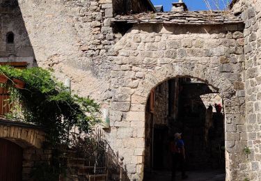
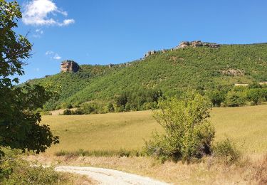
Trail Walking of 15.7 km to be discovered at Occitania, Aveyron, Nant. This trail is proposed by grageot.
*** pas de difficulté topo retour par. le causse très beaux chemins.
Lors du dernier thalweig on arrive sur un chemin fermé propriété privée, remonter légèrement la pente et, à niveau en bartasse, rejoindre le chemin de montée
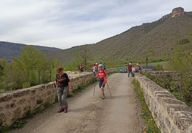
Walking
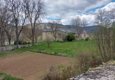
Walking
Walking
Walking

Walking
Walking

Running

Walking
parcours fermé à 2km de l'arrivée par des barbelés (propriété privée). contournement difficile.