


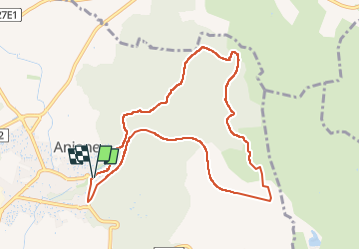

9.5 km | 12 km-effort


User


FREE GPS app for hiking
 SityTrail
IGN / Geographical institutes
SityTrail World
The world is yours!
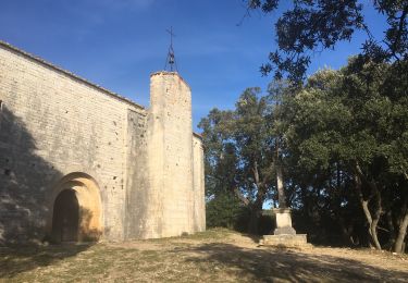
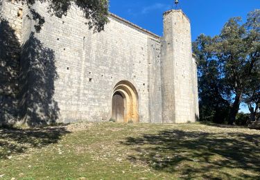
Trail Walking of 10.4 km to be discovered at Occitania, Hérault, Aniane. This trail is proposed by bernard.calvie.
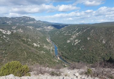
Aniane-Observatoire-tunnel-ruisseaux-des-corbieres-11km-275m
- une partie sur l'ancienne trace de voie ferrée avec un passage en tunnel : se munir de lampes.

Walking

Walking

Walking

Walking
Walking

Walking
Walking
Walking
Walking