


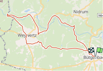

14.4 km | 17.3 km-effort


User GUIDE


FREE GPS app for hiking
 SityTrail
IGN / Geographical institutes
SityTrail World
The world is yours!
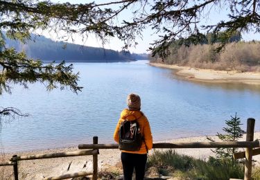
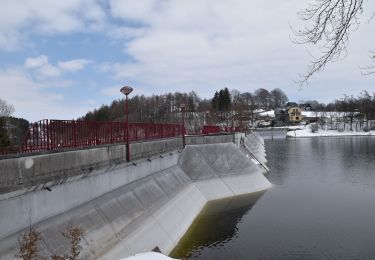
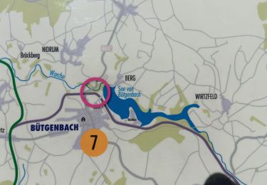
Trail Walking of 11.5 km to be discovered at Wallonia, Liège, Bütgenbach. This trail is proposed by mumu.larandonneuse.
La route des jonquilles, à faire au printemps, au mois d'avril.
🏁 Église de Bütgenbach, 4750 Bütgenbach.
➡️ points-noeud n° 44 – 39 - 41 - 18 - 23 - 29 - 26 - 40 - 22 - 25 - 33 - 36 - 34 - 39 - 44
👉🏽 https://butgenbach.info/wandern/narzissenrunde/
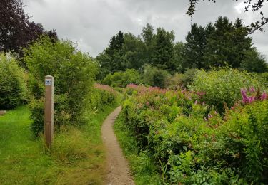
Walking
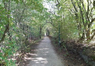
Walking
Walking
Walking
Walking

Walking
Walking

Walking
Walking