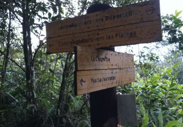
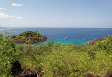
5.8 km | 9.2 km-effort
BH 190
© OpenStreetMap contributors
Walking
4h10
Difficulty : Easy
Length
36 km
Max alt
608 m
Uphill gradient
777 m
Km-Effort
47 km
Min alt
7 m
Downhill gradient
1064 m
Boucle
No
Creation date :
2024-03-28 15:06:15.0
Updated on :
2024-03-28 19:17:11.39
4h10
Difficulty : Easy
FREE GPS app for hiking
About
Trail Walking of 36 km to be discovered at Guadeloupe, Unknown, Pointe-Noire. This trail is proposed by 000877.477491c5be5f4a1d921394b7bf56f59d.1159.
Positioning
Country:
France
Region :
Guadeloupe
Department/Province :
Unknown
Municipality :
Pointe-Noire
Location:
Unknown
Start:(Dec)
Start:(UTM)
631937 ; 1791315 (20Q) N.
Comments
Trails nearby
Canyon Rivière Grand Plaine
Walking
Medium
(1)
Pointe-Noire,
Guadeloupe,
Unknown,
France
2h 40min
Yes
Morne Piment - Morne Jeanneton
Walking
Medium
Pointe-Noire,
Guadeloupe,
Unknown,
France
11.3 km | 22 km-effort
5h 19min
Yes
Piton de Bouillante
Walking
Medium
Petit-Bourg,
Guadeloupe,
Unknown,
France
11.3 km | 23 km-effort
3h 19min
No
Aquarando Rivière Losteau - Rivière Espérance
Walking
Easy
Bouillante,
Guadeloupe,
Unknown,
France
4.3 km | 6.5 km-effort
2h 17min
Yes
la mamelle au pigeon
Walking
Easy
Pointe-Noire,
Guadeloupe,
Unknown,
France
14 km | 19.1 km-effort
1h 24min
No
Réserve Cousteau - Ilets Pigeons
Canoe - kayak
Very easy
Bouillante,
Guadeloupe,
Unknown,
France
4.2 km | 4.6 km-effort
4h 41min
Yes
petit malendure
Walking
Medium
Bouillante,
Guadeloupe,
Unknown,
France
3.8 km | 6.8 km-effort
2h 36min
No
Guadeloupe - Saut de l'Acomat
Walking
Easy
Pointe-Noire,
Guadeloupe,
Unknown,
France
313 m | 419 m-effort
5min
Yes