


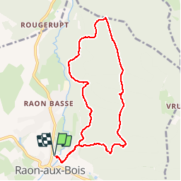

15.1 km | 21 km-effort

User


FREE GPS app for hiking
 SityTrail
IGN / Geographical institutes
SityTrail World
The world is yours!
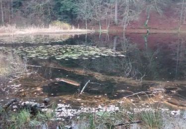
Trail Walking of 8.7 km to be discovered at Grand Est, Vosges, Raon-aux-Bois. This trail is proposed by jeanclaude12.
Boucle d'un peu plus de 8 km depuis Raon vers Lambert Goutte, le Grand Bambois, Sevré, Les Fouys, le Rang du Grenier et retour par La Chaoteuse et Lambert Goutte.


On foot

On foot
On foot
On foot
Walking
On foot
On foot

Walking
Walking