13.7 km | 15.6 km-effort
20230300 , tulipe 🌷
Jeanclaudebic
User
Length
1.1 km
Max alt
77 m
Uphill gradient
1 m
Km-Effort
1.1 km
Min alt
67 m
Downhill gradient
10 m
Boucle
No
Creation date :
2024-03-28 14:50:11.433
Updated on :
2024-03-29 07:26:01.385
15m
Difficulty : Easy
FREE GPS app for hiking
About
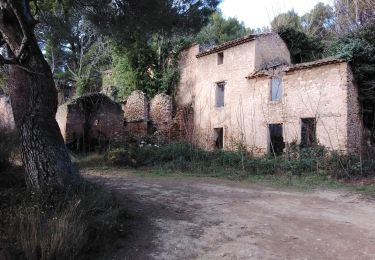
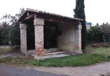
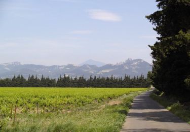
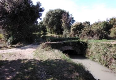
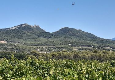
Trail Walking of 1.1 km to be discovered at Provence-Alpes-Côte d'Azur, Vaucluse, Jonquières. This trail is proposed by Jeanclaudebic.
Positioning
Country:
France
Region :
Provence-Alpes-Côte d'Azur
Department/Province :
Vaucluse
Municipality :
Jonquières
Location:
Unknown
Start:(Dec)
Start:(UTM)
653967 ; 4889480 (31T) N.
Comments
Trails nearby
Vacqueyras : balade dans les vignes
Walking
Easy
Vacqueyras,
Provence-Alpes-Côte d'Azur,
Vaucluse,
France
3h 11min
Yes
Vacqueras 84
Walking
Medium
Vacqueyras,
Provence-Alpes-Côte d'Azur,
Vaucluse,
France
9 km | 12.4 km-effort
2h 58min
Yes
sarrians fort de causans les sablons
Walking
Very easy
Sarrians,
Provence-Alpes-Côte d'Azur,
Vaucluse,
France
9.7 km | 10.6 km-effort
2h 37min
Yes
Circuit vélo - Balade de Jonquières à la Via Venaissia
Cycle
Medium
Jonquières,
Provence-Alpes-Côte d'Azur,
Vaucluse,
France
11.6 km | 12.3 km-effort
1h 0min
No
arboretum de beauregard Jonquieres
Walking
Easy
Courthézon,
Provence-Alpes-Côte d'Azur,
Vaucluse,
France
5.4 km | 5.9 km-effort
1h 22min
Yes
violes
Walking
Easy
Violès,
Provence-Alpes-Côte d'Azur,
Vaucluse,
France
12.9 km | 13.7 km-effort
3h 47min
Yes
Circuit du Castellas
On foot
Easy
Sarrians,
Provence-Alpes-Côte d'Azur,
Vaucluse,
France
5.1 km | 5.5 km-effort
1h 15min
No
garrigues de sarrians
Walking
Very easy
Sarrians,
Provence-Alpes-Côte d'Azur,
Vaucluse,
France
8.8 km | 9.5 km-effort
2h 28min
Yes
1_4_24
Road bike
Very difficult
Sarrians,
Provence-Alpes-Côte d'Azur,
Vaucluse,
France
69 km | 84 km-effort
4h 35min
Yes