


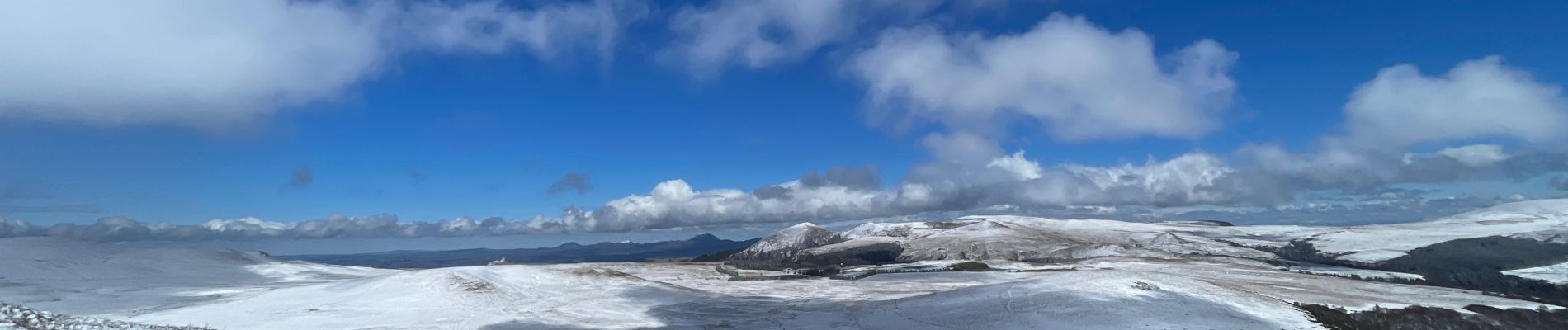
10.6 km | 14.6 km-effort

User


FREE GPS app for hiking
 SityTrail
IGN / Geographical institutes
SityTrail World
The world is yours!
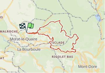
Trail Walking of 19.2 km to be discovered at Auvergne-Rhône-Alpes, Puy-de-Dôme, Murat-le-Quaire. This trail is proposed by zefreefly.
Départ au Lac
Une jolie rando variée, bois, puy et fond de vallée dans les environs de la Bourboule en passant par la Bonne D’Ordanche et le Puy Roc.
Passage sur goudron en fond de vallée et de belles montées.
Bonne Rando


Walking

Walking

Walking

Walking

Walking

Walking

Walking
On foot
On foot