Trail Walking Bonnevaux - bonnevaux  (près Frasne) - Photo

bonnevaux (près Frasne)

© OpenStreetMap contributors
Length
Length
18.4 km
Max alt
Max alt
1071 m
Uphill gradient
Uphill gradient
421 m
Km-Effort
Km-Effort  
24 km
Min alt
Min alt
848 m
Downhill gradient
Downhill gradient
420 m
Boucle
Boucle
Yes
Creation date :
2024-03-26 08:42:18.241
Updated on :
2024-03-29 09:03:18.527

(1 Reviews)

Walking
Walking
4h50
Difficulty : Medium

Scan this QR Code to open this trail in the SityTrail application

FREE GPS app for hiking

Logo SityTrail SityTrail

IGN / Geographical institutes

Download SityTrail from the App Store Download SityTrail from Google Play

Logo SityTrail SityTrail World

The world is yours!

Download SityTrail from the App Store Download SityTrail from Google Play Download SityTrail on Huawei AppGallery

About

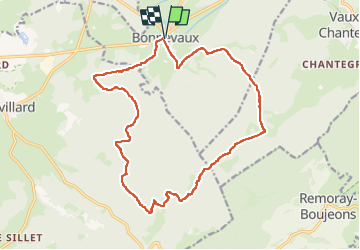
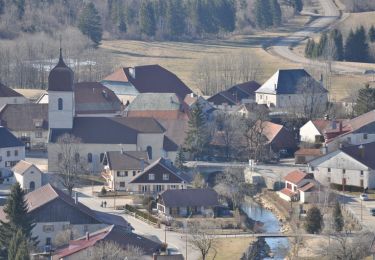
Trail Walking of 18.4 km to be discovered at Bourgogne-Franche-Comté, Doubs, Bonnevaux. This trail is proposed by eltonnermou.

Description

parking oratoire près de l'église.
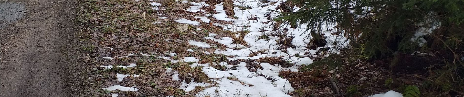
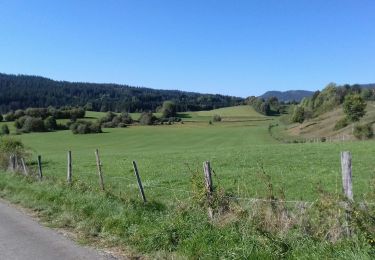
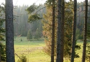
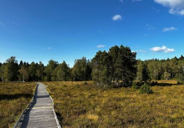
très beau parcours : la traversée de sous bois d'espèces variées, de prairies sèches est fort agréable. Vous cheminez, parfois, dans des espaces très protégés avec une réglementation stricte : interdit aux chiens même en laisse, interdit de cueillette, et rester sur les chemins, sont les principales clauses.
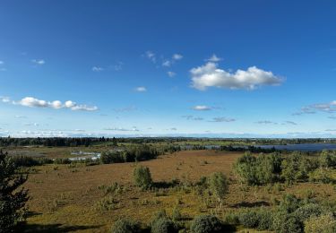
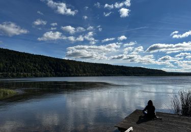
2 points de vues offrent une belle perspective (je ne suis pas passé, lors de cette rando, au premier, après le chalet de la combe noire). Vous pouvez faire le crochet.
le retour sur Bonnevaux passe par un chemin de débardage = très boueux.
Et comme d'habitude profitez de l'émerveillement que procure la vue d'un chamois, écureuil ou autre animal.

Elevation profile

Photos

Positioning

Country:
France
Region :
Bourgogne-Franche-Comté
Department/Province :
Doubs
Municipality :
Bonnevaux
Location:
Unknown
Start:(UTM)
285168 ; 5187672 (32T) N.

Comments

Please log in to post a review or rate the element


Trails nearby

Trail Walking Remoray-Boujeons - Remoray-Boujeons - Le Belvédère des deux Lacs - Photo
Walking
nicolibris

Walking

Difficult
(1)
Remoray-Boujeons, Bourgogne-Franche-Comté, Doubs, France
10.4 km | 13.8 km-effort
2h 58min
Yes
Trail Walking Remoray-Boujeons - Le Belvédère des 2 lacs - Doubs - Photo
Walking
tracegps

Walking

Difficult
(1)
Remoray-Boujeons, Bourgogne-Franche-Comté, Doubs, France
13.7 km | 19 km-effort
4h 0min
Yes
Trail Walking Remoray-Boujeons - REMORAY - au-dessus du village - Photo
Walking
nicolibris

Walking

Medium
(1)
Remoray-Boujeons, Bourgogne-Franche-Comté, Doubs, France
8.6 km | 11.7 km-effort
2h 28min
Yes
Trail Walking Vaux-et-Chantegrue - Côte de Bonnevaux - Chantegrue - Photo
Walking
tracegps

Walking

Medium
Vaux-et-Chantegrue, Bourgogne-Franche-Comté, Doubs, France
9.3 km | 12.5 km-effort
1h 45min
Yes
Trail Mountain bike Mignovillard - VTT dans le massif de la Haute Joux - entre Doubs et Jura - Photo
Mountain bike
tracegps

Mountain bike

Difficult
Mignovillard, Bourgogne-Franche-Comté, Jura, France
28 km | 38 km-effort
2h 0min
Yes
Trail Walking Bonnevaux - Le belvédère de Chatel-Véron et sa vue sur le marais du Varot à Bonnevaux - Photo
Walking
GUIDE
Benjamin27

Walking

Easy
Bonnevaux, Bourgogne-Franche-Comté, Doubs, France
408 m | 408 m-effort
5min
Yes
Trail Walking Frasne - tourbieres-de-frasne-bouverans-petite-boucle 2 - Photo
Walking
GUIDE
Benjamin27

Walking

Easy
Frasne, Bourgogne-Franche-Comté, Doubs, France
1.4 km | 1.6 km-effort
21min
Yes
Trail Walking Bouverans - decouverte-des-rives-du-lac-de-bouverans 3 - Photo
Walking
GUIDE
Benjamin27

Walking

Easy
Bouverans, Bourgogne-Franche-Comté, Doubs, France
2.1 km | 2.4 km-effort
33min
Yes
Trail Horseback riding Mignovillard - cjk - Photo
Horseback riding
Flo 25

Horseback riding

Medium
Mignovillard, Bourgogne-Franche-Comté, Jura, France
19.1 km | 25 km-effort
6h 1min
No


Close
My subscriptions