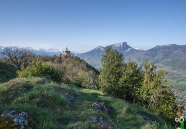
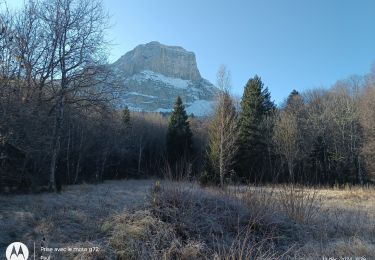
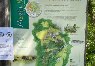
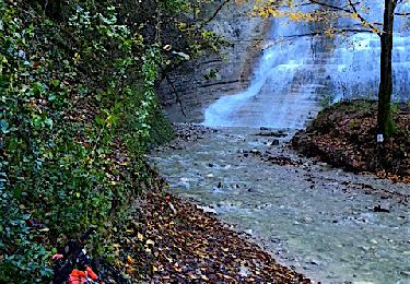
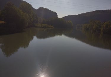
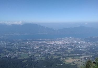
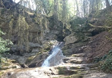
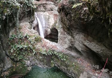
Trail Walking Saint-Baldoph - Bec du corbeau GR 2 - Photo
 michel38
michel38

User

© OpenStreetMap contributors
Length
Length
8.2 km
Max alt
Max alt
882 m
Uphill gradient
Uphill gradient
563 m
Km-Effort
Km-Effort  
15.7 km
Min alt
Min alt
446 m
Downhill gradient
Downhill gradient
569 m
Boucle
Boucle
Yes
Creation date :
2024-03-25 18:16:12.846
Updated on :
2024-03-25 18:16:45.48

(0 Reviews)

Walking
Walking
3h34
Difficulty : Difficult

Scan this QR Code to open this trail in the SityTrail application

FREE GPS app for hiking

Logo SityTrail SityTrail

IGN / Geographical institutes

Download SityTrail from the App Store Download SityTrail from Google Play

Logo SityTrail SityTrail World

The world is yours!

Download SityTrail from the App Store Download SityTrail from Google Play Download SityTrail on Huawei AppGallery

About

Trail Walking of 8.2 km to be discovered at Auvergne-Rhône-Alpes, Savoy, Saint-Baldoph. This trail is proposed by michel38.

Elevation profile

Positioning

Country:
France
Region :
Auvergne-Rhône-Alpes
Department/Province :
Savoy
Municipality :
Saint-Baldoph
Location:
Unknown
Start:(UTM)
729948 ; 5046324 (31T) N.

Trails nearby

Trail Walking Challes-les-Eaux - Le Mont Saint-Michel 895 m, depuis Challes-les-Eaux - Photo
Walking
tracegps

Walking

Difficult
(1)
Challes-les-Eaux, Auvergne-Rhône-Alpes, Savoy, France
7.6 km | 15 km-effort
4h 15min
Yes
Trail Walking Porte-de-Savoie - lac noir - Photo
Walking
Thomasp

Walking

Medium
(1)
Porte-de-Savoie, Auvergne-Rhône-Alpes, Savoy, France
15.8 km | 22 km-effort
5h 9min
Yes
Trail Mountain bike Cognin - Autour du Corbeley - Photo
Mountain bike
baudrine

Mountain bike

Medium
(1)
Cognin, Auvergne-Rhône-Alpes, Savoy, France
25 km | 38 km-effort
2h 23min
Yes
Trail Walking Curienne - Boucle de curienne  - Photo
Walking
choubaka77

Walking

Easy
Curienne, Auvergne-Rhône-Alpes, Savoy, France
6.2 km | 9.1 km-effort
2h 22min
Yes
Trail Mountain bike Porte-de-Savoie - Les coteaux d'Apremont - Photo
Mountain bike
Levillefranchois

Mountain bike

Difficult
Porte-de-Savoie, Auvergne-Rhône-Alpes, Savoy, France
27 km | 37 km-effort
2h 32min
Yes
Trail Hybrid bike Cognin - Chambéry jujurieux  - Photo
Hybrid bike
GUIDE
nadd73

Hybrid bike

Difficult
Cognin, Auvergne-Rhône-Alpes, Savoy, France
123 km | 143 km-effort
7h 30min
No
Trail Road bike Saint-Alban-Leysse - le Revard en boucle - Photo
Road bike
GUIDE
nadd73

Road bike

Difficult
Saint-Alban-Leysse, Auvergne-Rhône-Alpes, Savoy, France
66 km | 86 km-effort
3h 45min
Yes
Trail Walking Chambéry - Cascades de Jacob  - Photo
Walking
Michel_Martin

Walking

Easy
Chambéry, Auvergne-Rhône-Alpes, Savoy, France
10 km | 14 km-effort
2h 0min
Yes
Trail Walking Saint-Alban-Leysse - boucle circuit de l'enfer et passerelles  - Photo
Walking
GuyCharvier

Walking

Medium
Saint-Alban-Leysse, Auvergne-Rhône-Alpes, Savoy, France
12.8 km | 22 km-effort
4h 16min
Yes


Close
My subscriptions