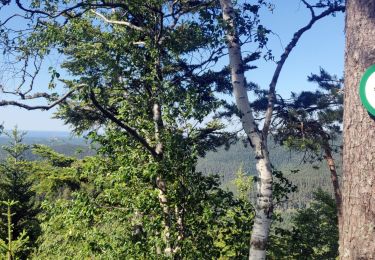
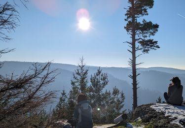
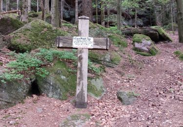
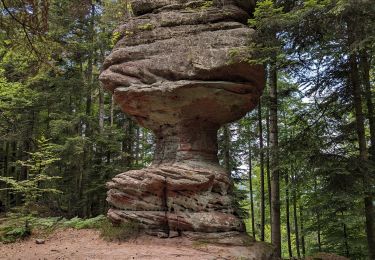
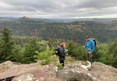
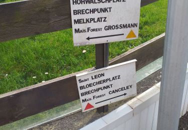
13.8 km | 18.7 km-effort
weilsheid
bellophilippe
User
Length
26 km
Max alt
999 m
Uphill gradient
760 m
Km-Effort
36 km
Min alt
484 m
Downhill gradient
768 m
Boucle
Yes
Creation date :
2024-03-24 07:43:55.909
Updated on :
2024-03-24 15:15:25.574
6h13
Difficulty : Very difficult
FREE GPS app for hiking
About
Trail Walking of 26 km to be discovered at Grand Est, Moselle, Walscheid. This trail is proposed by bellophilippe.
Description
rando cv
Positioning
Country:
France
Region :
Grand Est
Department/Province :
Moselle
Municipality :
Walscheid
Location:
Unknown
Start:(Dec)
Start:(UTM)
366332 ; 5384960 (32U) N.
Comments
Trails nearby
Circuit roche du diable joyeux Tivio
Horseback riding
Medium
Walscheid,
Grand Est,
Moselle,
France
14.7 km | 20 km-effort
2h 40min
Yes
Walscheid joyeux Tivio arcane joya torero
Horseback riding
Easy
Walscheid,
Grand Est,
Moselle,
France
13.9 km | 19.8 km-effort
2h 35min
Yes
Walscheid joyeux kalio
Horseback riding
Medium
Walscheid,
Grand Est,
Moselle,
France
15 km | 21 km-effort
2h 45min
Yes
suuntoapp-Hiking-2024-01-12T08-21-06Z
Walking
Difficult
Abreschviller,
Grand Est,
Moselle,
France
23 km | 35 km-effort
7h 58min
No
Le Canceley, le Grand Rommelstein et le Rocher du Calice
On foot
Easy
Saint-Quirin,
Grand Est,
Moselle,
France
12.5 km | 19.7 km-effort
4h 29min
Yes
2022-11-01 Marche Dabo et ses Rochers
Walking
Very difficult
Dabo,
Grand Est,
Moselle,
France
26 km | 38 km-effort
7h 8min
Yes
walscheid club vosgien
Walking
Medium
Walscheid,
Grand Est,
Moselle,
France
16.2 km | 22 km-effort
4h 17min
Yes