


15.8 km | 31 km-effort

User


FREE GPS app for hiking
 SityTrail
IGN / Geographical institutes
SityTrail World
The world is yours!
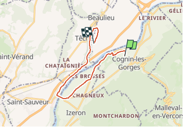
Trail Mountain bike of 19.6 km to be discovered at Auvergne-Rhône-Alpes, Isère, Beaulieu. This trail is proposed by crocau.
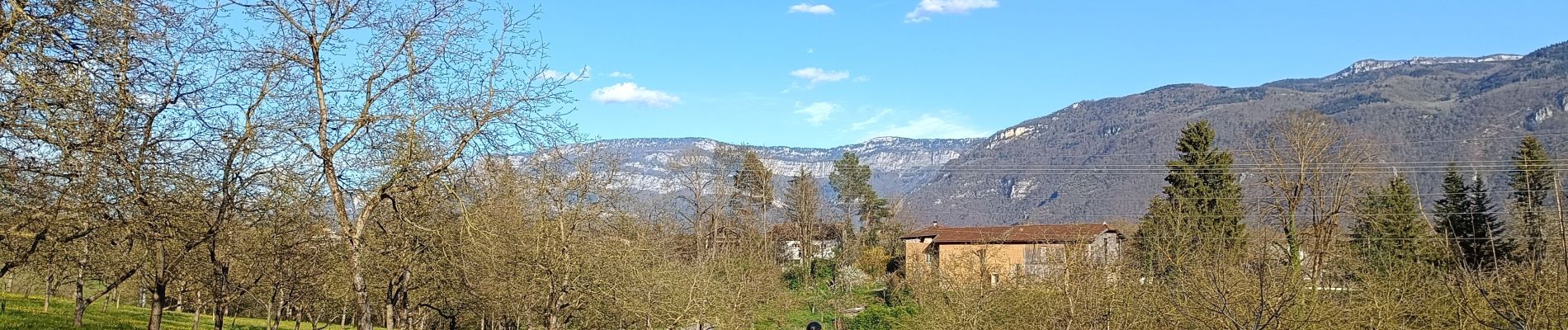
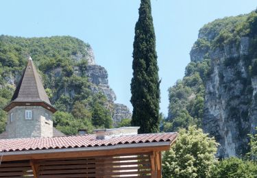
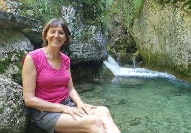
Prendre le temps d'admirer et de deviner l'origine des vestiges au fond de Beaulieu ..
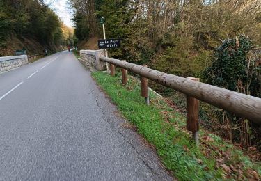
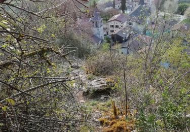
Et-re très très prudent dans la descente de Treillins vers la station d'épuration en dessous du pont de Treillins


Walking

Walking
Road bike
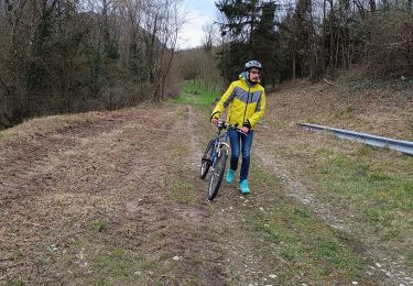
Mountain bike
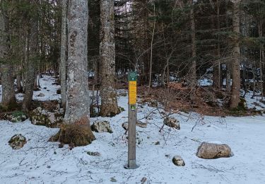
Walking
Walking
Walking
Walking
Walking