


Koh Lanta

poisson1103
User
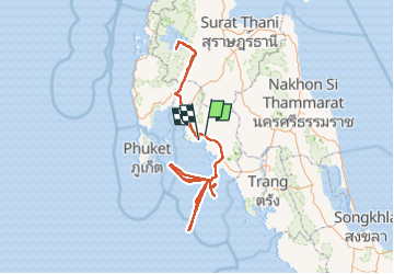

Length
1082 km
Boucle
No
Creation date :
2024-03-15 04:00:03.969
Updated on :
2024-03-23 11:37:54.241
56h18
Difficulty : Very easy

FREE GPS app for hiking
 SityTrail
IGN / Geographical institutes
SityTrail World
The world is yours!
About
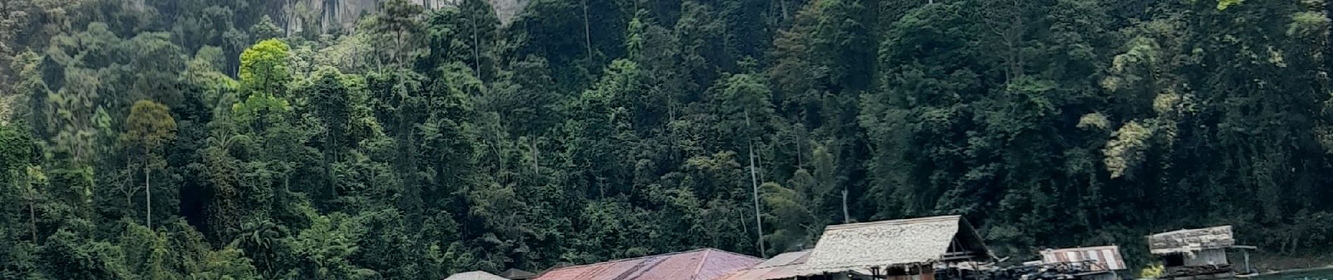
Trail Diving of 1082 km to be discovered at Krabi Province. This trail is proposed by poisson1103.
Photos


31 photos in total. Please click on a photo to see them all in the gallery.
Positioning
Country:
Thailand
Region :
Krabi Province
Department/Province :
Unknown
Municipality :
Unknown
Location:
Unknown
Start:(Dec)
Start:(UTM)
497733 ; 895037 (47P) N.
Comments
Trails nearby