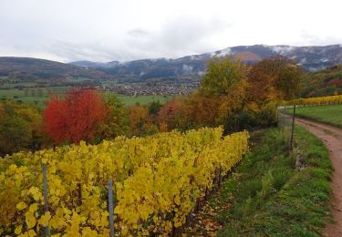
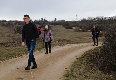
7.7 km | 11.3 km-effort
autour du Bollenberg
randoclas
User
Length
8.7 km
Max alt
332 m
Uphill gradient
193 m
Km-Effort
11.3 km
Min alt
235 m
Downhill gradient
193 m
Boucle
Yes
Creation date :
2024-03-20 13:10:46.745
Updated on :
2024-03-21 08:20:13.221
3h00
Difficulty : Easy
FREE GPS app for hiking
About
Trail Walking of 8.7 km to be discovered at Grand Est, Haut-Rhin, Westhalten. This trail is proposed by randoclas.
Description
rando nature ,facile
Positioning
Country:
France
Region :
Grand Est
Department/Province :
Haut-Rhin
Municipality :
Westhalten
Location:
Unknown
Start:(Dec)
Start:(UTM)
369974 ; 5311530 (32T) N.
Comments
Trails nearby
Osenbach - Sentier des Sols
Walking
Easy
(1)
Osenbach,
Grand Est,
Haut-Rhin,
France
4.7 km | 6.6 km-effort
3h 0min
Yes
SityTrail - Rouffach vers Schauenberg variante
Walking
Easy
(1)
Rouffach,
Grand Est,
Haut-Rhin,
France
10.6 km | 15.3 km-effort
3h 29min
Yes
P4 Circuits du Florival 2021
Mountain bike
Medium
(1)
Guebwiller,
Grand Est,
Haut-Rhin,
France
40 km | 53 km-effort
4h 31min
No
ND du Hubel_Schauenberg
Walking
Medium
(2)
Westhalten,
Grand Est,
Haut-Rhin,
France
8.3 km | 11.7 km-effort
2h 39min
Yes
Schauenberg 1
Walking
Easy
(1)
Pfaffenheim,
Grand Est,
Haut-Rhin,
France
10.3 km | 16.5 km-effort
3h 30min
Yes
Westhalten - Le tour de la vallée Noble
Mountain bike
Difficult
(1)
Westhalten,
Grand Est,
Haut-Rhin,
France
24 km | 33 km-effort
2h 30min
Yes
WESTHALTEN ZINKOEPHLE
Walking
Medium
Westhalten,
Grand Est,
Haut-Rhin,
France
10.6 km | 15.3 km-effort
2h 56min
Yes
Westhalten - Rouffach
Walking
Difficult
Westhalten,
Grand Est,
Haut-Rhin,
France
8.9 km | 13 km-effort
3h 22min
Yes