


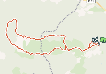

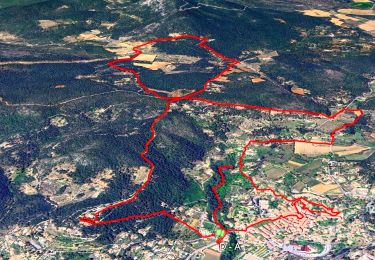
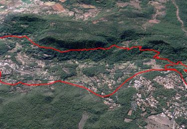
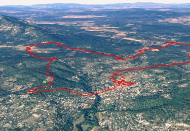
12.1 km | 16.5 km-effort


User


FREE GPS app for hiking
 SityTrail
IGN / Geographical institutes
SityTrail World
The world is yours!
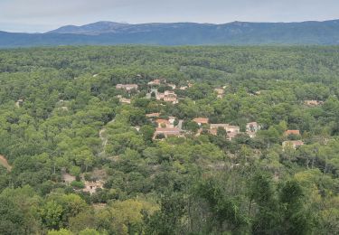
Trail Walking of 14.3 km to be discovered at Provence-Alpes-Côte d'Azur, Var, Cotignac. This trail is proposed by Migueldefrance.
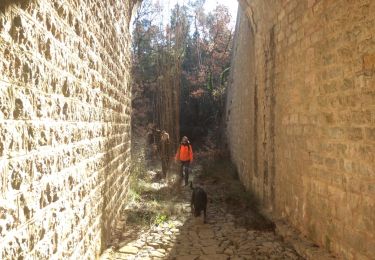
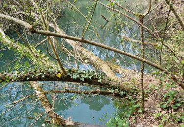
Un chemin très raide à la montée, un peu de route en haut, vue superbe, un chemin très raide à la descente, puis une piste longue et monotone. L'ensemble tout de même intéressant.


Walking
Walking
Walking
Walking
Walking
Walking
Walking

Walking
Walking