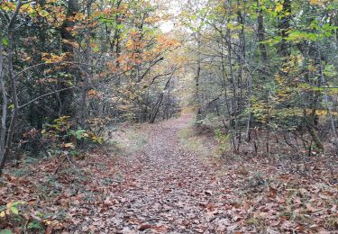
17.5 km | 21 km-effort
boucle forêt de Cardeilhac
lhomme.ph
User GUIDE
Length
10.3 km
Max alt
497 m
Uphill gradient
134 m
Km-Effort
12.1 km
Min alt
444 m
Downhill gradient
135 m
Boucle
Yes
Creation date :
2024-03-17 10:57:28.794
Updated on :
2024-03-17 14:35:31.691
3h37
Difficulty : Easy
FREE GPS app for hiking
About
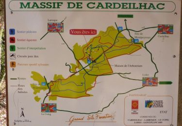
Trail Walking of 10.3 km to be discovered at Occitania, Haute-Garonne, Le Cuing. This trail is proposed by lhomme.ph.
Positioning
Country:
France
Region :
Occitania
Department/Province :
Haute-Garonne
Municipality :
Le Cuing
Location:
Unknown
Start:(Dec)
Start:(UTM)
305818 ; 4782219 (31T) N.
Comments
Trails nearby
arboretum de cardeilhac
Walking
Very easy
Cardeilhac,
Occitania,
Haute-Garonne,
France
6.6 km | 7.6 km-effort
1h 46min
Yes
Arboretum de Cardeilhac
Walking
Very easy
Cardeilhac,
Occitania,
Haute-Garonne,
France
6.6 km | 7.6 km-effort
1h 40min
Yes
arboretum
Walking
Very easy
Cardeilhac,
Occitania,
Haute-Garonne,
France
6.6 km | 7.6 km-effort
2h 8min
Yes
boucle au départ de Villeneuve de riviere
Road bike
Medium
Villeneuve-de-Rivière,
Occitania,
Haute-Garonne,
France
61 km | 71 km-effort
3h 55min
Yes
Gorges Save
Walking
Easy
Cardeilhac,
Occitania,
Haute-Garonne,
France
21 km | 0 m-effort
5h 16min
No
boucle dans le Comminges
Road bike
Medium
Villeneuve-de-Rivière,
Occitania,
Haute-Garonne,
France
68 km | 80 km-effort
3h 58min
No
boucle commingeoise
Road bike
Medium
Villeneuve-de-Rivière,
Occitania,
Haute-Garonne,
France
61 km | 71 km-effort
3h 9min
Yes
La forêt de Cardeilhac
Walking
Very easy
Cardeilhac,
Occitania,
Haute-Garonne,
France
6.9 km | 7.9 km-effort
1h 49min
Yes