


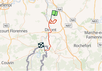


22 km | 30 km-effort

User


FREE GPS app for hiking
 SityTrail
IGN / Geographical institutes
SityTrail World
The world is yours!
Trail Walking of 52 km to be discovered at Wallonia, Namur, Yvoir. This trail is proposed by pascal0859.
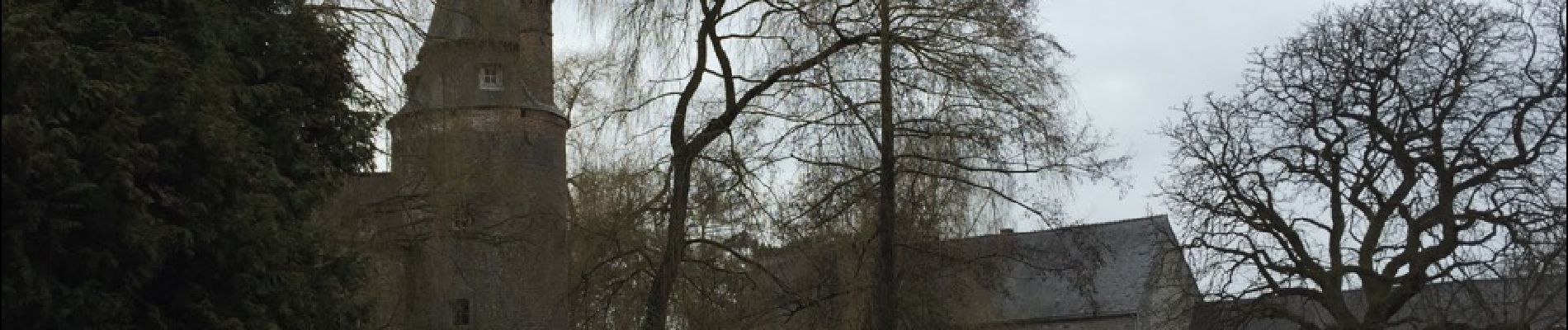
Superbe marche malgré un temps froid et pluvieux , très difficile montre pour se rendre à la forteresse de Poil Vache. A voir aussi le magnifique château ferme d Evrehailkes , il faut ôter 36kms a mon parcours et 3h00


Walking

Walking

Walking

Walking

Walking

Walking

Walking

Walking

Walking